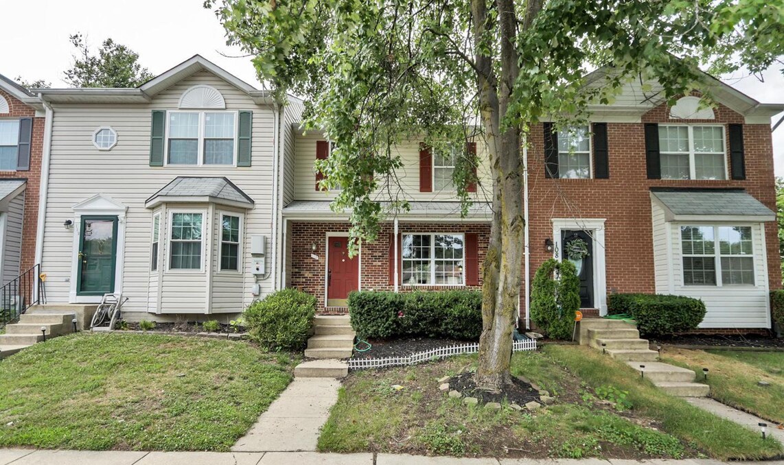
110 Langdon Farm Cir
Odenton, MD 21113
-
Bedrooms
3
-
Bathrooms
4
-
Square Feet
2,040 sq ft
-
Available
Available Jul 15
Highlight
- Pets Allowed

About This Home
Detailed remarks and description are coming soon...
110 Langdon Farm Cir is an apartment community located in Anne Arundel County and the 21113 ZIP Code.
Features
- Air Conditioning
- Renters Insurance Program
Fees and Policies
The fees below are based on community-supplied data and may exclude additional fees and utilities.
- Dogs Allowed
-
Fees not specified
- Cats Allowed
-
Fees not specified
Details
Lease Options
-
12 Months
Contact
- Phone Number
- Website View Property Website
- Contact
-
Source

- Air Conditioning
- Renters Insurance Program
Situated in Anne Arundel County, Odenton is centrally located between Annapolis, Washington D.C., and Baltimore. The city is continuously growing in population, largely due to its proximity to Fort George G. Meade military base and the developing Piney Orchard neighborhood.
In Odenton, you’ll discover a lot of great shopping centers like Waugh Chapel Towne Centre. Hikers will enjoy the plethora of trails that reside within the community, including Little Patuxent River Trail, Wild Turkey Way, and Merganser Pond Trail, among others. Midland Park is a large green space just minutes from Bowie State University. This Baltimore suburb contains highly rated public schools, plus access to Interstate 97 and Odenton Station.
Learn more about living in Odenton| Colleges & Universities | Distance | ||
|---|---|---|---|
| Colleges & Universities | Distance | ||
| Drive: | 23 min | 13.7 mi | |
| Drive: | 24 min | 14.2 mi | |
| Drive: | 25 min | 15.1 mi | |
| Drive: | 27 min | 16.0 mi |
Transportation options available in Odenton include Dorsey, located 7.2 miles from 110 Langdon Farm Cir. 110 Langdon Farm Cir is near Baltimore/Washington International Thurgood Marshall, located 8.7 miles or 17 minutes away, and Ronald Reagan Washington Ntl, located 31.4 miles or 50 minutes away.
| Transit / Subway | Distance | ||
|---|---|---|---|
| Transit / Subway | Distance | ||
|
|
Drive: | 14 min | 7.2 mi |
|
|
Drive: | 17 min | 8.6 mi |
|
|
Drive: | 18 min | 8.9 mi |
|
|
Drive: | 16 min | 9.2 mi |
|
|
Drive: | 17 min | 9.5 mi |
| Commuter Rail | Distance | ||
|---|---|---|---|
| Commuter Rail | Distance | ||
|
|
Drive: | 7 min | 3.0 mi |
|
|
Drive: | 11 min | 5.0 mi |
| Drive: | 14 min | 7.2 mi | |
| Drive: | 14 min | 7.3 mi | |
|
|
Drive: | 13 min | 7.9 mi |
| Airports | Distance | ||
|---|---|---|---|
| Airports | Distance | ||
|
Baltimore/Washington International Thurgood Marshall
|
Drive: | 17 min | 8.7 mi |
|
Ronald Reagan Washington Ntl
|
Drive: | 50 min | 31.4 mi |
Time and distance from 110 Langdon Farm Cir.
| Shopping Centers | Distance | ||
|---|---|---|---|
| Shopping Centers | Distance | ||
| Walk: | 19 min | 1.0 mi | |
| Walk: | 19 min | 1.0 mi | |
| Drive: | 6 min | 2.8 mi |
| Parks and Recreation | Distance | ||
|---|---|---|---|
| Parks and Recreation | Distance | ||
|
Patuxent Research Refuge - North Tract
|
Drive: | 12 min | 5.7 mi |
|
Kinder Farm Park
|
Drive: | 24 min | 13.2 mi |
|
Patuxent Research Refuge - South Tract
|
Drive: | 25 min | 13.8 mi |
| Hospitals | Distance | ||
|---|---|---|---|
| Hospitals | Distance | ||
| Drive: | 16 min | 8.4 mi | |
| Drive: | 22 min | 11.6 mi |
| Military Bases | Distance | ||
|---|---|---|---|
| Military Bases | Distance | ||
| Drive: | 5 min | 1.8 mi |
You May Also Like
What Are Walk Score®, Transit Score®, and Bike Score® Ratings?
Walk Score® measures the walkability of any address. Transit Score® measures access to public transit. Bike Score® measures the bikeability of any address.
What is a Sound Score Rating?
A Sound Score Rating aggregates noise caused by vehicle traffic, airplane traffic and local sources

110 Langdon Farm Cir
Odenton, MD 21113