
$865
/ Month
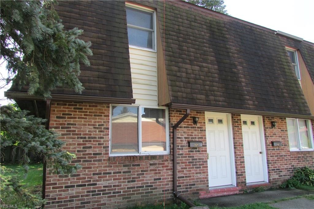
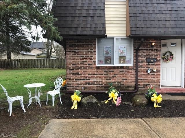
10800 Forest St Unit 14
Garrettsville, OH 44231
2 Weeks Ago
|
Edit
Favorites
10800 Forest St Unit 14

Favorites
Check Back Soon for Upcoming Availability
| Beds | Baths | Average SF |
|---|---|---|
| 3 Bedrooms 3 Bedrooms 3 Br | 2 Baths 2 Baths 2 Ba | — |
About This Property
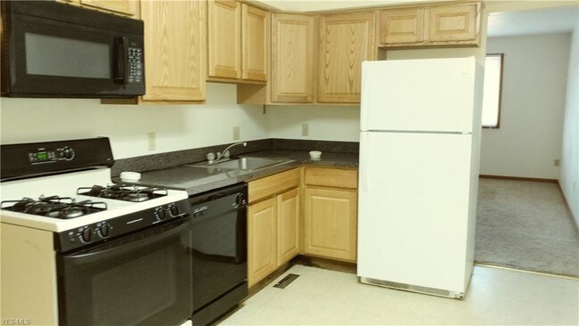
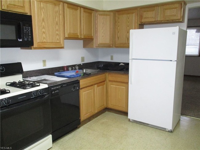
James A. Garfield School District. First floor living with a bedroom and full bath on the main floor along with your kitchen and living room. Gas Stove, refrigerator, microwave, and garbage disposal for use. Air-conditioned. Mowing and plowing are included. Tenant to pay water, sewer, gas, and electric. Village location and is close to amenities. Some photos may be of a different, similar unit. Other 2 bedrooms and full bath are upstairs. This is the only 3 bedroom at this location in an end unit. No smoking and no pets.
10800 Forest St is an apartment community located in Portage County and the 44231 ZIP Code.
Features
- Washer/Dryer Hookup
10800 Forest St,
Garrettsville,
OH
44231
Amenities
- Washer/Dryer Hookup
Education
| Colleges & Universities | Distance | ||
|---|---|---|---|
| Colleges & Universities | Distance | ||
| Drive: | 28 min | 17.7 mi | |
| Drive: | 33 min | 18.4 mi | |
| Drive: | 46 min | 29.9 mi | |
| Drive: | 45 min | 31.0 mi |
10800 Forest St Unit 14 is within 28 minutes or 17.7 miles from Kent State Univ., Trumbull. It is also near Kent State University and Cuyahoga C.C., East.
Walkability Near 10800 Forest St Garrettsville, OH 44231
Getting Around
 What do Walkability, Transit, Drivability, and Bikeability mean?
Walkability measures the walking distance to day-to-day needs.
Transit measures access to public transportation.
Drivability measures congestion, parking availability, and access to major roads.
Bikeability measures the suitability for cycling.
How It Works
What do Walkability, Transit, Drivability, and Bikeability mean?
Walkability measures the walking distance to day-to-day needs.
Transit measures access to public transportation.
Drivability measures congestion, parking availability, and access to major roads.
Bikeability measures the suitability for cycling.
How It Works
Fairly Walkable
Walkability
40
/ 100
Limited Public Transit
Transit
30
/ 100
Exceptionally Drivable
Drivability
90
/ 100
Not Bikeable
Bikeability
10
/ 100
Scores provided by
-
Soundscore™
-
/ 100
Traffic
-Airport
-Businesses
-Scores provided by
HowLoud What is a Sound Score Rating? A Sound Score Rating aggregates noise caused by vehicle traffic, airplane traffic and local sources. How It WorksYou May Also Like
Similar Rentals Nearby
-
-
3 Beds$765+4 Beds$639+Total Monthly Price11 Month LeaseTotal Monthly Price NewPrices include all required monthly fees.
Pets Allowed Fitness Center Pool Maintenance on site Basketball Court
-
-
-
-
-
-
-
-


What Are Walk Score®, Transit Score®, and Bike Score® Ratings?
Walk Score® measures the walkability of any address. Transit Score® measures access to public transit. Bike Score® measures the bikeability of any address.
What is a Sound Score Rating?
A Sound Score Rating aggregates noise caused by vehicle traffic, airplane traffic and local sources.

10800 Forest St
Garrettsville, OH 44231