
$1,300
/ Month
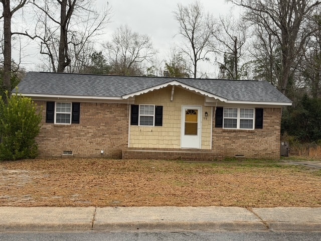
108 State Rd S-28-664
Lugoff, SC 29078
2 Weeks Ago
|
Edit
Favorites
108 State Rd S-28-664

Favorites
Check Back Soon for Upcoming Availability
| Beds | Baths | Average SF |
|---|---|---|
| 3 Bedrooms 3 Bedrooms 3 Br | 2 Baths 2 Baths 2 Ba | 1,004 SF |
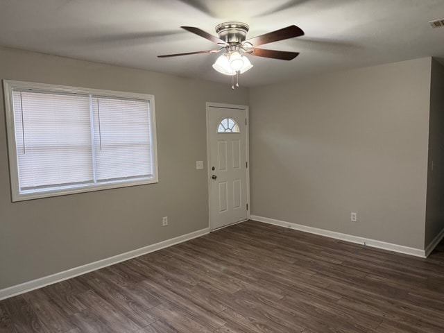
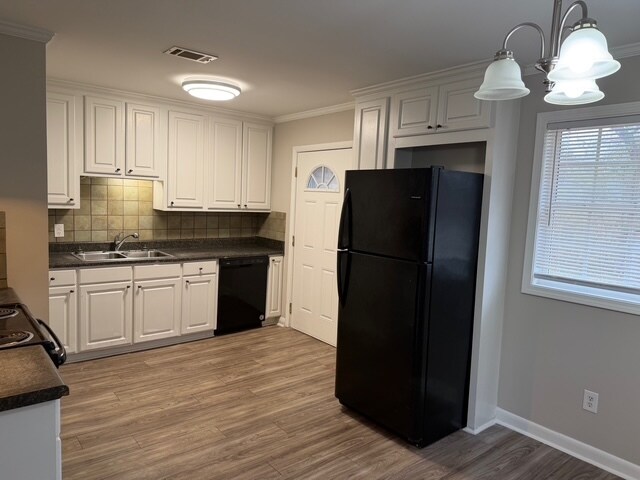
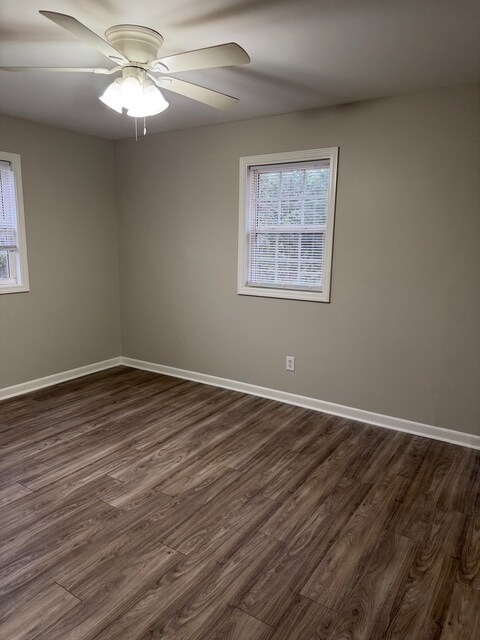
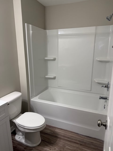
About This Property
Check out this charming property in Lugoff, SC. Moving to this 108 State Rd S-28-664 location in Lugoff, you'll have easy access to a variety of shops and restaurants. Get a jump start on finding your new space. Reach out to see everything this home offers.
108 State Rd S-28-664 is a house located in Kershaw County and the 29078 ZIP Code. This area is served by the Kershaw 01 School District attendance zone.
108 State Rd S-28-664,
Lugoff,
SC
29078
Education
| Colleges & Universities | Distance | ||
|---|---|---|---|
| Colleges & Universities | Distance | ||
| Drive: | 38 min | 28.2 mi | |
| Drive: | 39 min | 28.4 mi | |
| Drive: | 41 min | 29.9 mi | |
| Drive: | 42 min | 30.8 mi |
108 State Rd S-28-664 is within 38 minutes or 28.2 miles from Allen University. It is also near Benedict College and University of South Carolina.
Schools


Public Elementary School
Grades PK-5
526 Students
Attendance Zone
Public Elementary School
Grades PK-5
732 Students
Nearby
Public Middle School
Grades 6-8
668 Students
Attendance Zone
Public High School
Grades 9-12
1,744 Students
Attendance Zone
Private Elementary School
Grades PK-5
81 Students
Nearby
Private Middle & High School
Grades 6-12
260 Students
Nearby
School data provided by
 The GreatSchools Rating helps parents compare schools within a state based on a variety of school quality indicators and provides a helpful picture of how effectively each school serves all of its students. Ratings are on a scale of 1 (below average) to 10 (above average) and can include test scores, college readiness, academic progress, advanced courses, equity, discipline and attendance data. We also advise parents to visit schools, consider other information on school performance and programs, and consider family needs as part of the school selection process.
View GreatSchools Rating Methodology
Data provided by GreatSchools.org © 2026. All rights reserved.
View GreatSchools Rating Methodology
Data provided by GreatSchools.org © 2026. All rights reserved.
Walkability Near 108 State Rd S-28-664 Lugoff, SC 29078
Getting Around
 What do Walkability, Transit, Drivability, and Bikeability mean?
Walkability measures the walking distance to day-to-day needs.
Transit measures access to public transportation.
Drivability measures congestion, parking availability, and access to major roads.
Bikeability measures the suitability for cycling.
How It Works
What do Walkability, Transit, Drivability, and Bikeability mean?
Walkability measures the walking distance to day-to-day needs.
Transit measures access to public transportation.
Drivability measures congestion, parking availability, and access to major roads.
Bikeability measures the suitability for cycling.
How It Works
Somewhat Walkable
Walkability
30
/ 100
Exceptionally Drivable
Drivability
100
/ 100
Somewhat Bikeable
Bikeability
20
/ 100
Scores provided by
-
Soundscore™
-
/ 100
Traffic
-Airport
-Businesses
-Scores provided by
HowLoud What is a Sound Score Rating? A Sound Score Rating aggregates noise caused by vehicle traffic, airplane traffic and local sources. How It WorksYou May Also Like
Similar Rentals Nearby


What Are Walk Score®, Transit Score®, and Bike Score® Ratings?
Walk Score® measures the walkability of any address. Transit Score® measures access to public transit. Bike Score® measures the bikeability of any address.
What is a Sound Score Rating?
A Sound Score Rating aggregates noise caused by vehicle traffic, airplane traffic and local sources.
108 State Rd S-28-664
Lugoff, SC 29078