

$1,595
/ Month
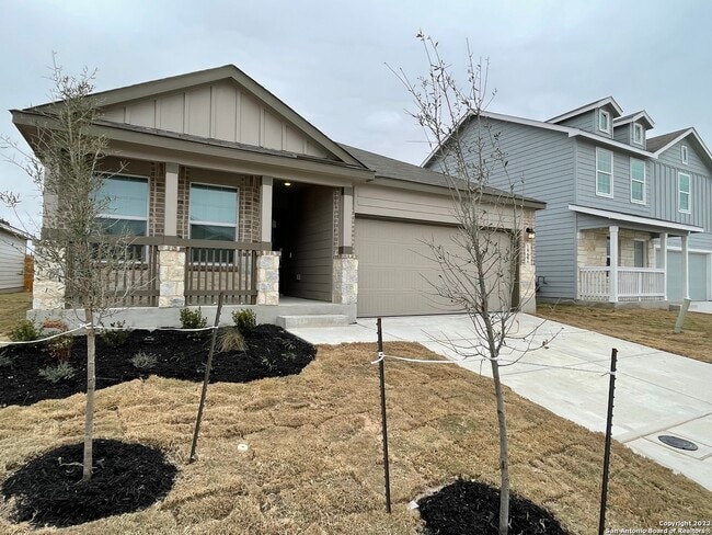
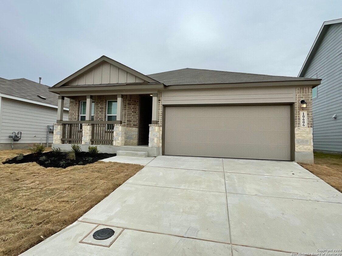
10606 Borlaug St
Converse, TX 78109
Favorites
-
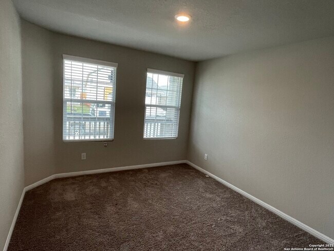
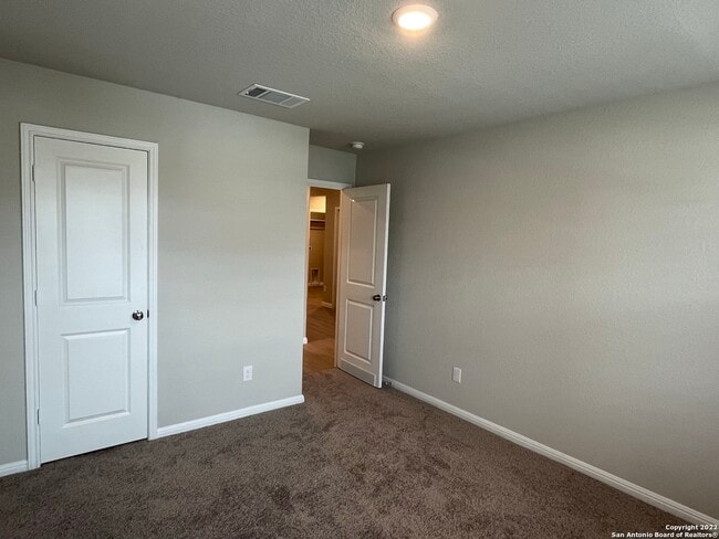
Bedrooms
3
-
Bathrooms
2
-
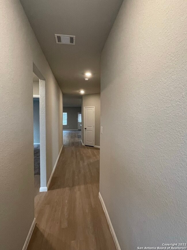
Square Feet
1,910 sq ft
10606 Borlaug St

Favorites
Contact
- Listed by Locayt
Location
Get Directions
Converse sits about thirteen miles northeast of downtown San Antonio in Bexar County, part of the broader San Antonio metro area. The city traces its roots to 1877, when a Southern Pacific Railroad engineer purchased the land that became its townsite, and it has grown steadily from a small farming community into a fully developed suburban city. Randolph Air Force Base is nearby, which gives Converse a steady connection to the military presence that defines much of northeast Bexar County. The Judson Independent School District anchors education here, with several schools serving the community across its eight square miles. Residents have straightforward access to Loop 1604 and Farm to Market Road 78, making commutes into San Antonio manageable. The housing stock leans toward single-family homes, though apartment communities and townhome rentals are available for those who prefer something lower-maintenance.
Learn more about living in Converse
Education
| Colleges & Universities | Distance | ||
|---|---|---|---|
| Colleges & Universities | Distance | ||
| Drive: | 19 min | 9.6 mi | |
| Drive: | 21 min | 12.9 mi | |
| Drive: | 29 min | 16.9 mi | |
| Drive: | 29 min | 17.3 mi |
10606 Borlaug St is within 19 minutes or 9.6 miles from Northeast Lakeview College. It is also near St. Philip's College, MLK and Univ. of the Incarnate Word.
Getting Around
 What do Walkability, Transit, Drivability, and Bikeability mean?
Walkability measures the walking distance to day-to-day needs.
Transit measures access to public transportation.
Drivability measures congestion, parking availability, and access to major roads.
Bikeability measures the suitability for cycling.
How It Works
What do Walkability, Transit, Drivability, and Bikeability mean?
Walkability measures the walking distance to day-to-day needs.
Transit measures access to public transportation.
Drivability measures congestion, parking availability, and access to major roads.
Bikeability measures the suitability for cycling.
How It Works
Not Walkable
Walkability
10
/ 100
Minimal Public Transit
Transit
0
/ 100
Exceptionally Drivable
Drivability
100
/ 100
Somewhat Bikeable
Bikeability
20
/ 100
Scores provided by
-
Soundscore™
-
/ 100
Traffic
-Airport
-Businesses
-Scores provided by
HowLoud What is a Sound Score Rating? A Sound Score Rating aggregates noise caused by vehicle traffic, airplane traffic and local sources. How It WorksYou May Also Like
Similar Rentals Nearby


What Are Walk Score®, Transit Score®, and Bike Score® Ratings?
Walk Score® measures the walkability of any address. Transit Score® measures access to public transit. Bike Score® measures the bikeability of any address.
What is a Sound Score Rating?
A Sound Score Rating aggregates noise caused by vehicle traffic, airplane traffic and local sources.
10606 Borlaug St
Converse, TX 78109