10600 Parrot Ave
10600 Parrot Ave,
Downey,
CA
90241
2 Weeks Ago
Favorites
10600 Parrot Ave

Favorites
Check Back Soon for Upcoming Availability
Fees and Policies
The fees below are based on community-supplied data and may exclude additional fees and utilities.
- Parking
-
Covered--
Details
Lease Options
-
1 Month
About 10600 Parrot Ave Downey, CA 90241
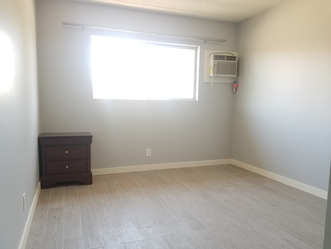
Welcome Home to Mi Casa @Parrot Apartments ! We are conveniently located In the City of Downey, near shopping, entertainment, LAX and Downtown Los Angles. Blending the best of metropolitan conveniences and peaceful-style comfort, our Newly Renovated Mi Casa @Parrot Apartments offers you distinctive one bedroom floor plans featuring fully equipped kitchens and accessible parking. Month to Month Rent is another benefit that Mi Casa @Parrot Apartments offers to all of our Tenants. Apply online or call us today to discover why our residents are proud to call Mi Casa @Parrot Apartments home. Where “Mi Casa Es Su Casa” when it comes to finding the perfect place to call Home..... Sweet Home!
10600 Parrot Ave is an apartment community located in Los Angeles County and the 90241 ZIP Code.
Apartment Features
- Smoke Free
- Laundry Facilities
Location
Get Directions
Downey is a family-friendly metropolis home to Wilderness Park, the city’s premier destination for outdoor recreation, home to a duck pond, paved jogging trails, and scenic picnic spots. Residents also frequent Apollo Park, Furman Park, and the Rio Hondo Golf Club. Downey features top-notch local restaurants and shops like Lock & Key Social Drinkery + Kitchen off Downey Avenue. But don’t forget about Porto’s Bakery and Café, an iconic Cuban establishment since 1960 offering Latin snacks and specialty desserts.
Situated just 13 miles southeast of Los Angeles, Downey offers unbeatable access to everything LA has to offer. And if you plan to commute into LA, Downey is an idyllic suburb for you with easy access to I-5. Apartment rentals in Downey range from affordable to upscale, offering a variety of options for renters. Excellent public schools reside in the Downey Unified School District.
Learn more about living in DowneyBelow are rent ranges for similar nearby apartments
Amenities
- Smoke Free
- Laundry Facilities
Education
| Colleges & Universities | Distance | ||
|---|---|---|---|
| Colleges & Universities | Distance | ||
| Drive: | 12 min | 6.3 mi | |
| Drive: | 13 min | 7.4 mi | |
| Drive: | 14 min | 8.3 mi | |
| Drive: | 17 min | 8.9 mi |
10600 Parrot Ave is within 12 minutes or 6.3 miles from Cerritos College. It is also near UEI, Huntington Park and East Los Angeles College.
Transportation options available in Downey include Lakewood Station, located 3.3 miles from 10600 Parrot Ave. 10600 Parrot Ave is near Long Beach (Daugherty Field), located 10.5 miles or 21 minutes away, and Los Angeles International, located 19.0 miles or 27 minutes away.
| Transit / Subway | Distance | ||
|---|---|---|---|
| Transit / Subway | Distance | ||
|
|
Drive: | 6 min | 3.3 mi |
|
|
Drive: | 9 min | 5.2 mi |
|
|
Drive: | 11 min | 6.2 mi |
|
|
Drive: | 13 min | 7.6 mi |
|
|
Drive: | 13 min | 8.6 mi |
| Commuter Rail | Distance | ||
|---|---|---|---|
| Commuter Rail | Distance | ||
|
|
Drive: | 8 min | 4.4 mi |
|
|
Drive: | 11 min | 5.6 mi |
|
|
Drive: | 10 min | 5.7 mi |
|
|
Drive: | 19 min | 12.3 mi |
| Drive: | 21 min | 16.1 mi |
| Airports | Distance | ||
|---|---|---|---|
| Airports | Distance | ||
|
Long Beach (Daugherty Field)
|
Drive: | 21 min | 10.5 mi |
|
Los Angeles International
|
Drive: | 27 min | 19.0 mi |
Time and distance from 10600 Parrot Ave.
| Shopping Centers | Distance | ||
|---|---|---|---|
| Shopping Centers | Distance | ||
| Walk: | 8 min | 0.4 mi | |
| Walk: | 13 min | 0.7 mi | |
| Walk: | 16 min | 0.8 mi |
10600 Parrot Ave has 3 shopping centers within 0.8 mile, which is about a 16-minute walk. The miles and minutes will be for the farthest away property.
| Parks and Recreation | Distance | ||
|---|---|---|---|
| Parks and Recreation | Distance | ||
|
Watts Senior Center & Rose Garden
|
Drive: | 14 min | 7.7 mi |
|
Pio Pico State Historic Park
|
Drive: | 12 min | 7.8 mi |
|
Compton Creek Natural Park at George Washington Elementary
|
Drive: | 16 min | 8.3 mi |
|
Watts Towers-Rodia State Park
|
Drive: | 15 min | 8.9 mi |
|
Augustus Hawkins Natural Park
|
Drive: | 15 min | 8.9 mi |
10600 Parrot Ave has 5 parks within 8.9 miles, including Pio Pico State Historic Park, Watts Senior Center & Rose Garden, and Watts Towers-Rodia State Park.
| Hospitals | Distance | ||
|---|---|---|---|
| Hospitals | Distance | ||
| Drive: | 3 min | 1.2 mi | |
| Drive: | 6 min | 2.8 mi | |
| Drive: | 7 min | 3.7 mi |
10600 Parrot Ave has 3 hospitals within 3.7 miles, the nearest is PIH Hospital - Downey which is 1.2 miles away and a 3 minute drive.
| Military Bases | Distance | ||
|---|---|---|---|
| Military Bases | Distance | ||
| Drive: | 25 min | 16.3 mi | |
| Drive: | 24 min | 17.3 mi |
10600 Parrot Ave is 16.3 miles from Los Alamitos Army Airfield, and is convenient to other military bases, including Los Angeles Air Force Base.
You May Also Like
Similar Rentals Nearby


 - Violet on Virgil")


What Are Walk Score®, Transit Score®, and Bike Score® Ratings?
Walk Score® measures the walkability of any address. Transit Score® measures access to public transit. Bike Score® measures the bikeability of any address.
What is a Sound Score Rating?
A Sound Score Rating aggregates noise caused by vehicle traffic, airplane traffic and local sources