$1,550
/ Month
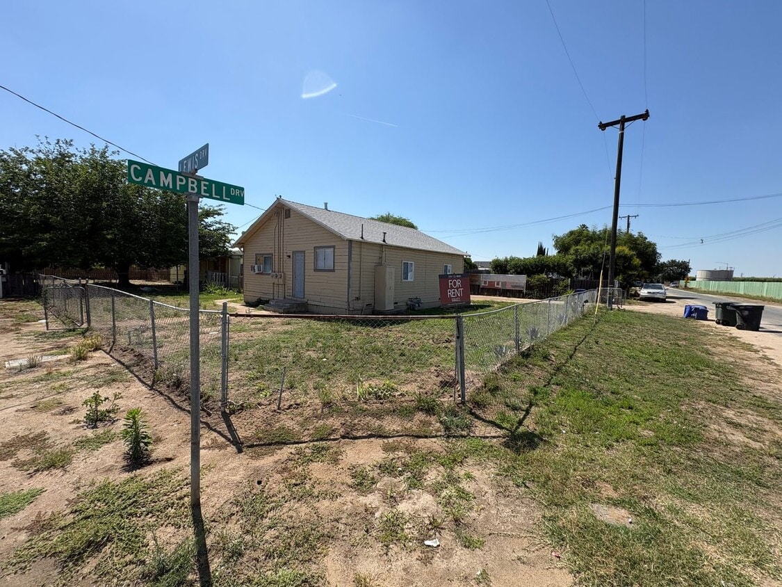
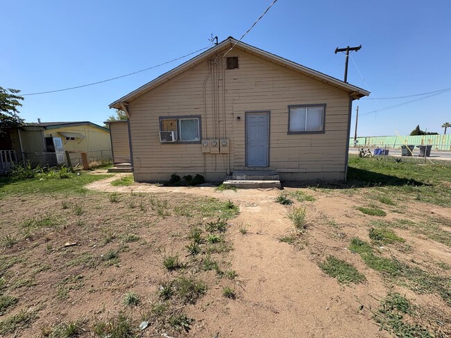
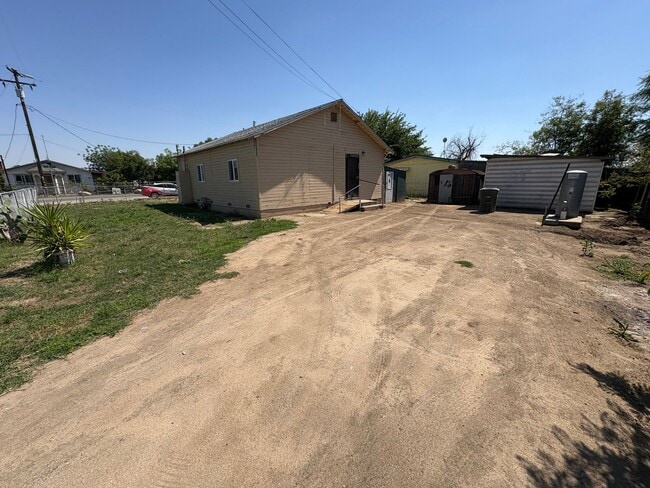
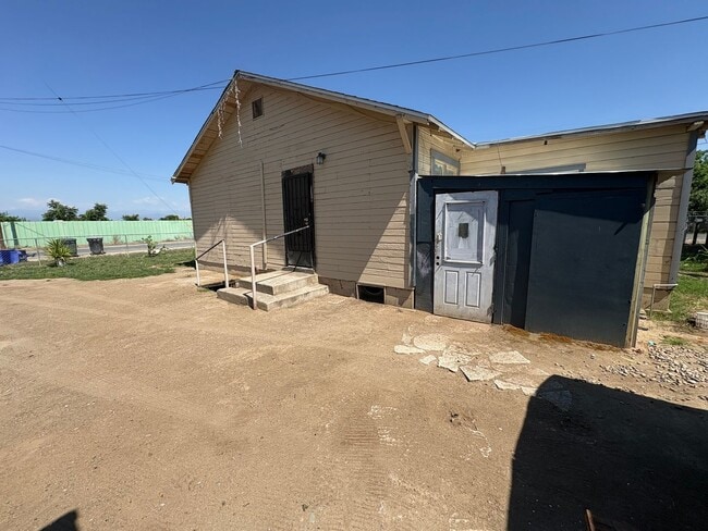
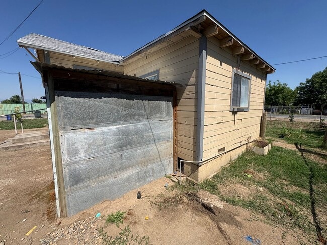
10596 Ave 344 Unit B
Dinuba, CA 93618
Favorites
559-732-8800
-
Bedrooms
2
-
Bathrooms
1
-
Square Feet
--
-
Available
Available Now
10596 Ave 344 Unit B

Favorites
Contact
- Listed by The Equity Group | The Equity Group
- Phone Number
- Contact
Location
Get Directions
An agricultural hub in the San Joaquin Valley, Dinuba is known as the Raisin City -- roughly 40 percent of the world's raisins are grown and dried in Dinuba, which equals about 300,000 tons of raisins every year. Other crops include plums, citrus, peaches, nuts, and cotton. Dinuba is also home to the Ruiz Foods manufacturing facility and the Best Buy Regional Distribution Center. Ruiz Foods is the largest private employer in Tulare County. Dinuba's charming downtown shopping district -- complete with brick-paved roads, shade trees, wide sidewalks, and colorful murals -- contains a variety of boutiques, antique stores, restaurants, and cafes.
Situated about 27 miles southeast of Fresno and roughly 18 miles northwest of Visalia, Dinuba is part of a fast-growing region. With Sequoia National Park less than an hour east, residents can explore the 404,064 acres, which includes the Giant Forest, home to the General Sherman Tree -- the largest tree in the world.
Learn more about living in Dinuba
Education
| Colleges & Universities | Distance | ||
|---|---|---|---|
| Colleges & Universities | Distance | ||
| Drive: | 24 min | 14.7 mi | |
| Drive: | 26 min | 15.8 mi | |
| Drive: | 47 min | 32.6 mi | |
| Drive: | 50 min | 37.3 mi |
10596 Ave 344 Unit B is within 24 minutes or 14.7 miles from Reedley College. It is also near College of the Sequoias and Fresno Pacific University.
Getting Around
 What do Walkability, Transit, Drivability, and Bikeability mean?
Walkability measures the walking distance to day-to-day needs.
Transit measures access to public transportation.
Drivability measures congestion, parking availability, and access to major roads.
Bikeability measures the suitability for cycling.
How It Works
What do Walkability, Transit, Drivability, and Bikeability mean?
Walkability measures the walking distance to day-to-day needs.
Transit measures access to public transportation.
Drivability measures congestion, parking availability, and access to major roads.
Bikeability measures the suitability for cycling.
How It Works
Not Walkable
Walkability
10
/ 100
Minimal Public Transit
Transit
0
/ 100
Exceptionally Drivable
Drivability
90
/ 100
Somewhat Bikeable
Bikeability
30
/ 100
Scores provided by
-
Soundscore™
-
/ 100
Traffic
-Airport
-Businesses
-Scores provided by
HowLoud What is a Sound Score Rating? A Sound Score Rating aggregates noise caused by vehicle traffic, airplane traffic and local sources. How It WorksYou May Also Like
Similar Rentals Nearby
-
-
-
-
-
1 / 12

-
-
-
-
-


What Are Walk Score®, Transit Score®, and Bike Score® Ratings?
Walk Score® measures the walkability of any address. Transit Score® measures access to public transit. Bike Score® measures the bikeability of any address.
What is a Sound Score Rating?
A Sound Score Rating aggregates noise caused by vehicle traffic, airplane traffic and local sources.

10596 Ave 344
Dinuba, CA 93618