
$1,850
Total Monthly Price
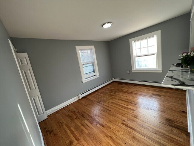
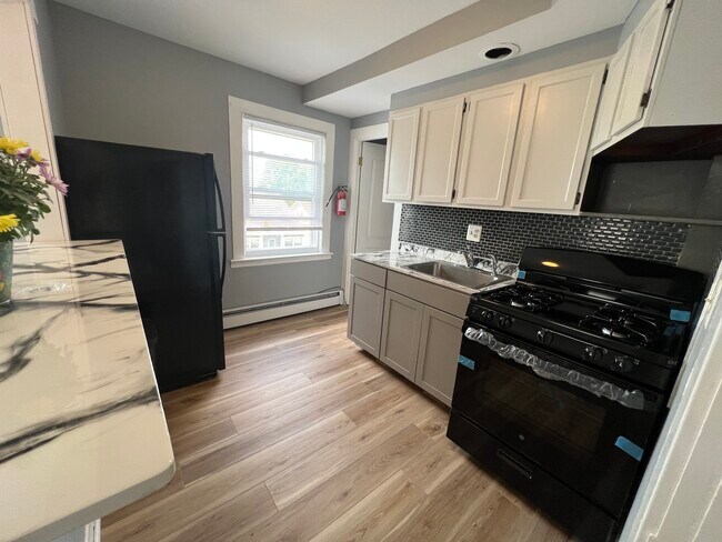
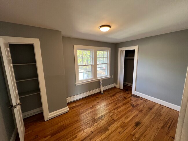
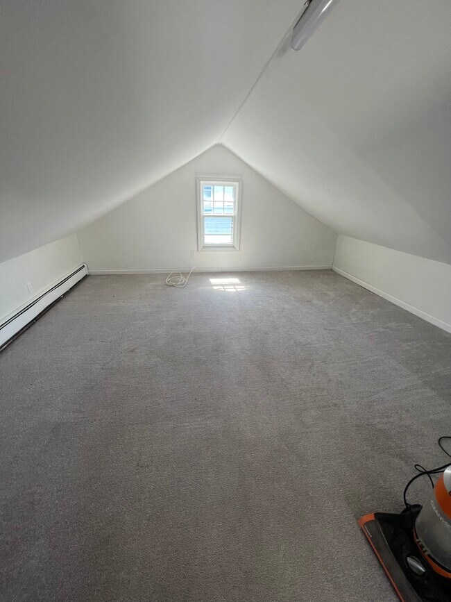
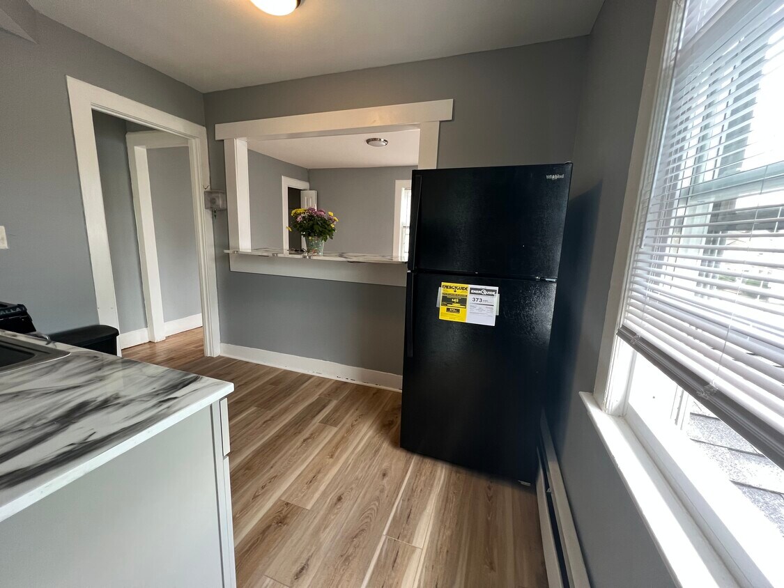
1049 Woolley Ave Unit 2
Union Township, NJ 07083
Favorites
1049 Woolley Ave Unit 2

Favorites
Check Back Soon for Upcoming Availability
| Beds | Baths | Average SF |
|---|---|---|
| 2 Bedrooms 2 Bedrooms 2 Br | 1 Bath 1 Bath 1 Ba | 100 SF |
Fees and Policies
The fees listed below are community-provided and may exclude utilities or add-ons. All payments are made directly to the property and are non-refundable unless otherwise specified.
- Parking
-
Street--
Details
Utilities Included
-
Water
-
Sewer
Property Information
-
2 units
1049 Woolley Ave is an apartment community located in Union County and the 07083 ZIP Code.
Apartment Features
- Smoke Free
1049 Woolley Ave,
Union Township,
NJ
07083
The large township of Union is a thriving northeastern New Jersey suburb, sitting adjacent to Elizabeth and less than five miles from Newark Liberty International Airport. The majority of the community’s landscape is covered by residential neighborhoods, with lush trees and upscale homes, apartments, and condos lining the streets.
The Downtown area surrounding Morris and Stuyvesant Avenues serves as a major hangout for locals, with everything from specialty shops and unique cafes to the historic Union Theater occupying the cozy storefronts. Kean University on the east end serves around 16,000 students and employs hundreds of locals as faculty and staff members.
Learn more about living in Union Township
Amenities
- Smoke Free
Expenses
Utilities Included
Water, Sewer
Included
Education
| Colleges & Universities | Distance | ||
|---|---|---|---|
| Colleges & Universities | Distance | ||
| Drive: | 8 min | 3.2 mi | |
| Drive: | 11 min | 4.3 mi | |
| Drive: | 14 min | 5.1 mi | |
| Drive: | 14 min | 5.6 mi |
1049 Woolley Ave Unit 2 is within 8 minutes or 3.2 miles from Kean University. It is also near Union County Coll., Elizabeth and Seton Hall University.
Transportation options available in Union Township include Warren Street, located 7.2 miles from 1049 Woolley Ave Unit 2. 1049 Woolley Ave Unit 2 is near Newark Liberty International, located 9.0 miles or 14 minutes away, and LaGuardia, located 28.2 miles or 48 minutes away.
| Transit / Subway | Distance | ||
|---|---|---|---|
| Transit / Subway | Distance | ||
|
|
Drive: | 14 min | 7.2 mi |
|
|
Drive: | 14 min | 7.3 mi |
|
|
Drive: | 14 min | 7.4 mi |
|
|
Drive: | 14 min | 7.7 mi |
|
|
Drive: | 14 min | 8.1 mi |
| Commuter Rail | Distance | ||
|---|---|---|---|
| Commuter Rail | Distance | ||
|
|
Drive: | 5 min | 2.5 mi |
|
|
Drive: | 8 min | 2.6 mi |
|
|
Drive: | 8 min | 2.9 mi |
|
|
Drive: | 9 min | 3.2 mi |
|
|
Drive: | 10 min | 3.6 mi |
| Airports | Distance | ||
|---|---|---|---|
| Airports | Distance | ||
|
Newark Liberty International
|
Drive: | 14 min | 9.0 mi |
|
LaGuardia
|
Drive: | 48 min | 28.2 mi |
Walkability Near 1049 Woolley Ave Union Township, NJ 07083
Getting Around
 What do Walkability, Transit, Drivability, and Bikeability mean?
Walkability measures the walking distance to day-to-day needs.
Transit measures access to public transportation.
Drivability measures congestion, parking availability, and access to major roads.
Bikeability measures the suitability for cycling.
How It Works
What do Walkability, Transit, Drivability, and Bikeability mean?
Walkability measures the walking distance to day-to-day needs.
Transit measures access to public transportation.
Drivability measures congestion, parking availability, and access to major roads.
Bikeability measures the suitability for cycling.
How It Works
Moderately Walkable
Walkability
60
/ 100
Some Public Transit
Transit
40
/ 100
Moderately Drivable
Drivability
70
/ 100
Fairly Bikeable
Bikeability
50
/ 100
Scores provided by
-
Soundscore™
-
/ 100
Traffic
-Airport
-Businesses
-Scores provided by
HowLoud What is a Sound Score Rating? A Sound Score Rating aggregates noise caused by vehicle traffic, airplane traffic and local sources. How It WorksTime and distance from 1049 Woolley Ave Unit 2.
| Shopping Centers | Distance | ||
|---|---|---|---|
| Shopping Centers | Distance | ||
| Drive: | 4 min | 1.3 mi | |
| Drive: | 5 min | 1.5 mi | |
| Drive: | 5 min | 1.7 mi |
1049 Woolley Ave Unit 2 has 3 shopping centers within 1.7 miles, which is about a 5-minute drive. The miles and minutes will be for the farthest away property.
| Parks and Recreation | Distance | ||
|---|---|---|---|
| Parks and Recreation | Distance | ||
|
Cora Hartshorn Arboretum
|
Drive: | 11 min | 3.9 mi |
|
Reeves-Reed Arboretum
|
Drive: | 11 min | 4.5 mi |
|
Greenwood Gardens
|
Drive: | 12 min | 4.7 mi |
|
William Miller Sperry Observatory
|
Drive: | 12 min | 5.5 mi |
|
Turtle Back Zoo
|
Drive: | 17 min | 6.8 mi |
1049 Woolley Ave Unit 2 has 5 parks within 6.8 miles, including Cora Hartshorn Arboretum, Reeves-Reed Arboretum, and William Miller Sperry Observatory.
| Hospitals | Distance | ||
|---|---|---|---|
| Hospitals | Distance | ||
| Drive: | 9 min | 4.3 mi | |
| Drive: | 12 min | 4.9 mi | |
| Drive: | 12 min | 4.9 mi |
1049 Woolley Ave Unit 2 has 3 hospitals within 4.9 miles, the nearest is Newark Beth Israel Medical Center which is 4.3 miles away and a 9 minute drive.
| Military Bases | Distance | ||
|---|---|---|---|
| Military Bases | Distance | ||
| Drive: | 19 min | 8.6 mi | |
| Drive: | 16 min | 9.0 mi | |
| Drive: | 19 min | 12.8 mi |
1049 Woolley Ave Unit 2 has 3 military bases within 12.8 miles, the nearest is Tamdques Reservation which is 8.6 miles away and a 19 minute drive.
You May Also Like
-
The Jefferson
2 Kinderkamack Rd
Hackensack, NJ 07601
$3,195 - $4,830
2 Br 19.0 mi
-
Leonia Manor: In-Unit Washer & Dryer, Heat, Hot & Cold Water Included, Cat & Dog Friendly, and Wa...
405-425 Broad Ave
Leonia, NJ 07605
$3,395
2 Br 19.1 mi
-
The Edge at Main
125 W Main St
Somerville, NJ 08876
$2,683 - $4,098
2 Br 19.9 mi
How do I access Social Services in New Jersey?
Statewide service is free, confidential, multilingual and always open. Three easy ways to reach Social Services in NJ: Dial 2-1-1; text your zip code to 898-211; or chat at https://www.nj211.org
Similar Rentals Nearby


What Are Walk Score®, Transit Score®, and Bike Score® Ratings?
Walk Score® measures the walkability of any address. Transit Score® measures access to public transit. Bike Score® measures the bikeability of any address.
What is a Sound Score Rating?
A Sound Score Rating aggregates noise caused by vehicle traffic, airplane traffic and local sources.
1049 Woolley Ave
Union Township, NJ 07083