
$1,300
/ Month
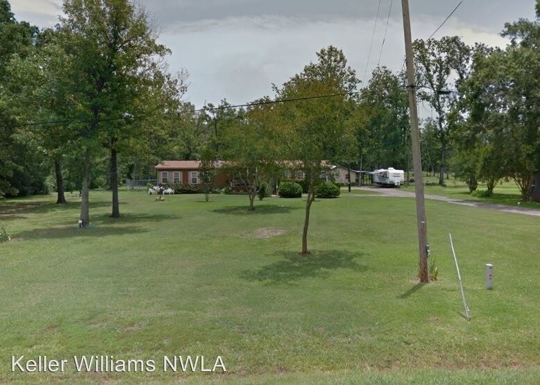
10463 Ferry Lake Rd
Oil City, LA 71061
2 Weeks Ago
|
Edit
Favorites
10463 Ferry Lake Rd

Favorites
Check Back Soon for Upcoming Availability
| Beds | Baths | Average SF |
|---|---|---|
| 4 Bedrooms 4 Bedrooms 4 Br | 2 Baths 2 Baths 2 Ba | — |
Fees and Policies
The fees listed below are community-provided and may exclude utilities or add-ons. All payments are made directly to the property and are non-refundable unless otherwise specified.
- Dogs Allowed
-
Fees not specified
-
Weight limit--
-
Pet Limit--
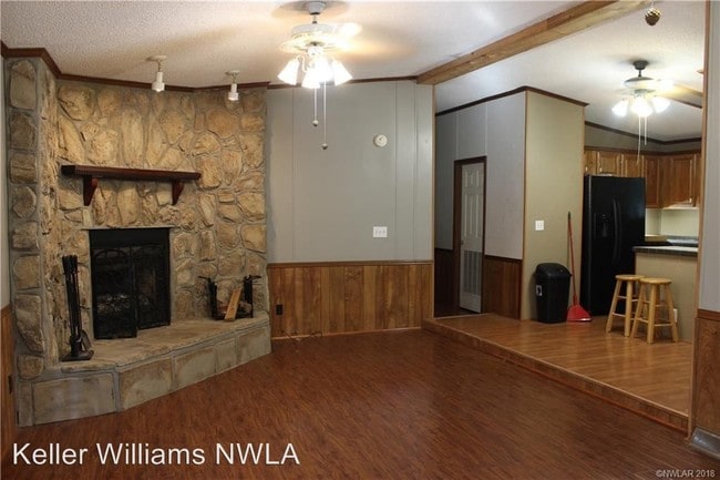
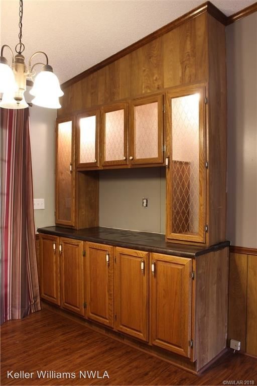
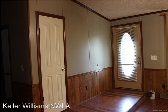
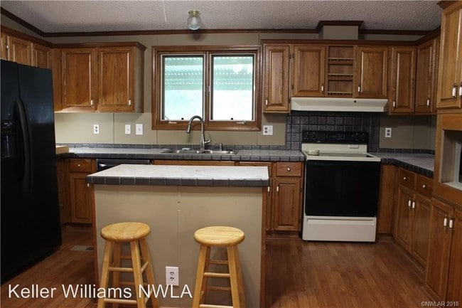
About This Property
(318) 773-0231 - - (RLNE4337700) Pet policies: Small Dogs Allowed, Cats Allowed.
10463 Ferry Lake Rd is a house located in Caddo County and the 71061 ZIP Code. This area is served by the Caddo Parish School District attendance zone.
10463 Ferry Lake Rd,
Oil City,
LA
71061
Education
| Colleges & Universities | Distance | ||
|---|---|---|---|
| Colleges & Universities | Distance | ||
| Drive: | 50 min | 31.0 mi | |
| Drive: | 59 min | 31.9 mi |
10463 Ferry Lake Rd is within 50 minutes or 31.0 miles from Bossier Parish Comm. Coll.. It is also near LSU Shreveport.
Schools


Public Elementary School
Grades PK-5
299 Students
Attendance Zone
Public Elementary & Middle School
Grades K-8
712 Students
Attendance Zone
Public Middle School
Grades 6-8
1,003 Students
Attendance Zone
Public High School
Grades 9-12
958 Students
Attendance Zone
Public High School
Grades 9-12
344 Students
Attendance Zone
Private Elementary, Middle & High School
Grades PK-12
12 Students
Nearby
Private Elementary, Middle & High School
Grades K-12
Nearby
Private Elementary, Middle & High School
Grades K-12
Nearby
School data provided by
 The GreatSchools Rating helps parents compare schools within a state based on a variety of school quality indicators and provides a helpful picture of how effectively each school serves all of its students. Ratings are on a scale of 1 (below average) to 10 (above average) and can include test scores, college readiness, academic progress, advanced courses, equity, discipline and attendance data. We also advise parents to visit schools, consider other information on school performance and programs, and consider family needs as part of the school selection process.
View GreatSchools Rating Methodology
Data provided by GreatSchools.org © 2026. All rights reserved.
View GreatSchools Rating Methodology
Data provided by GreatSchools.org © 2026. All rights reserved.
Walkability Near 10463 Ferry Lake Rd Oil City, LA 71061
Getting Around
 What do Walkability, Transit, Drivability, and Bikeability mean?
Walkability measures the walking distance to day-to-day needs.
Transit measures access to public transportation.
Drivability measures congestion, parking availability, and access to major roads.
Bikeability measures the suitability for cycling.
How It Works
What do Walkability, Transit, Drivability, and Bikeability mean?
Walkability measures the walking distance to day-to-day needs.
Transit measures access to public transportation.
Drivability measures congestion, parking availability, and access to major roads.
Bikeability measures the suitability for cycling.
How It Works
Not Walkable
Walkability
10
/ 100
Exceptionally Drivable
Drivability
100
/ 100
Somewhat Bikeable
Bikeability
30
/ 100
Scores provided by
-
Soundscore™
-
/ 100
Traffic
-Airport
-Businesses
-Scores provided by
HowLoud What is a Sound Score Rating? A Sound Score Rating aggregates noise caused by vehicle traffic, airplane traffic and local sources. How It WorksSimilar Rentals Nearby


What Are Walk Score®, Transit Score®, and Bike Score® Ratings?
Walk Score® measures the walkability of any address. Transit Score® measures access to public transit. Bike Score® measures the bikeability of any address.
What is a Sound Score Rating?
A Sound Score Rating aggregates noise caused by vehicle traffic, airplane traffic and local sources.

10463 Ferry Lake Rd
Oil City, LA 71061