
Vasara
110 Constitution Dr,
Menlo Park, CA 94025
Studio - 3 Beds $3,255 - $6,814
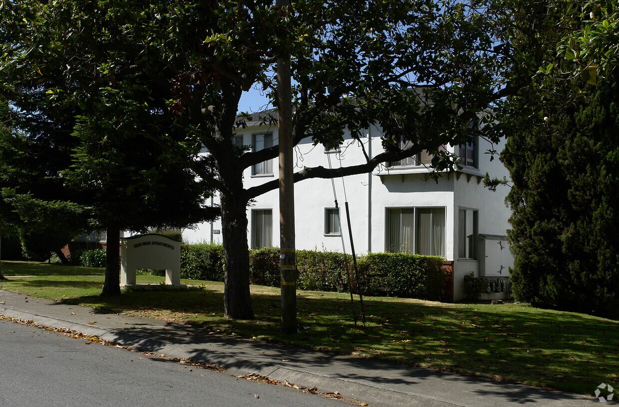
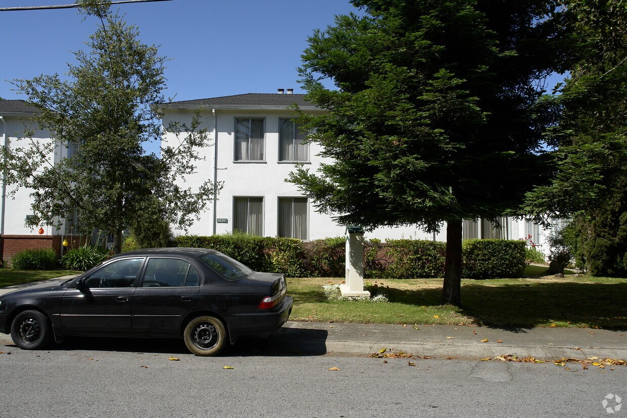

1031 Noel Dr offers a blend of comfort, style and quality. The address for this community is at 1031 Noel Dr. in Menlo Park. Here at this community, the leasing team is ready to help you in finding the perfect place. Be sure to come for a visit to see the current floorplan options. Drop by 1031 Noel Dr today.
1031 Noel Dr is an apartment community located in San Mateo County and the 94025 ZIP Code. This area is served by the Menlo Park City Elementary attendance zone.
Minutes north of the Stanford University campus and just a couple blocks from the 101, Lindenwood is a charming suburban community offering something for all walks of life. The local division of the Palo Alto VA Hospital sits just a few blocks east of the neighborhood, making it a highly convenient location for healthcare professional.
Trees and greenery surround you everywhere in the neighborhood, particularly in public recreation areas like Flood Park and Holbrook-Palmer Park, which feature networks of trails that are perfect for jogging or just a leisurely stroll through the foliage. Numerous public and private schools can be found throughout the community and just beyond, giving students the option to walk to class easily.
In addition to the local bus system, rail service from Menlo Park Station makes it easy to get to work without a personal vehicle – be sure to grab a cup of coffee at Café Borrone before you catch your train.
Learn more about living in Lindenwood| Colleges & Universities | Distance | ||
|---|---|---|---|
| Colleges & Universities | Distance | ||
| Walk: | 16 min | 0.9 mi | |
| Drive: | 9 min | 3.3 mi | |
| Drive: | 15 min | 5.8 mi | |
| Drive: | 16 min | 8.0 mi |


Transportation options available in Menlo Park include Mountain View Station, located 7.4 miles from 1031 Noel Dr. 1031 Noel Dr is near Norman Y Mineta San Jose International, located 17.8 miles or 27 minutes away, and San Francisco International, located 19.1 miles or 28 minutes away.
| Transit / Subway | Distance | ||
|---|---|---|---|
| Transit / Subway | Distance | ||
| Drive: | 16 min | 7.4 mi | |
|
|
Drive: | 16 min | 7.4 mi |
| Drive: | 17 min | 10.2 mi | |
|
|
Drive: | 17 min | 10.3 mi |
|
|
Drive: | 18 min | 10.8 mi |
| Commuter Rail | Distance | ||
|---|---|---|---|
| Commuter Rail | Distance | ||
| Walk: | 4 min | 0.2 mi | |
| Drive: | 4 min | 1.4 mi | |
| Drive: | 8 min | 3.2 mi | |
| Drive: | 7 min | 3.2 mi | |
| Drive: | 9 min | 3.7 mi |
| Airports | Distance | ||
|---|---|---|---|
| Airports | Distance | ||
|
Norman Y Mineta San Jose International
|
Drive: | 27 min | 17.8 mi |
|
San Francisco International
|
Drive: | 28 min | 19.1 mi |
Time and distance from 1031 Noel Dr.
| Shopping Centers | Distance | ||
|---|---|---|---|
| Shopping Centers | Distance | ||
| Walk: | 6 min | 0.3 mi | |
| Walk: | 6 min | 0.3 mi | |
| Walk: | 8 min | 0.4 mi |
| Parks and Recreation | Distance | ||
|---|---|---|---|
| Parks and Recreation | Distance | ||
|
Burgess Park
|
Walk: | 8 min | 0.4 mi |
|
Fremont Park
|
Walk: | 11 min | 0.6 mi |
|
Jack W. Lyle Park
|
Walk: | 18 min | 1.0 mi |
|
El Palo Alto Park
|
Drive: | 4 min | 1.4 mi |
|
Holbrook-Palmer Park
|
Drive: | 4 min | 1.4 mi |
| Hospitals | Distance | ||
|---|---|---|---|
| Hospitals | Distance | ||
| Drive: | 5 min | 1.9 mi | |
| Drive: | 6 min | 2.3 mi | |
| Drive: | 9 min | 3.9 mi |
| Military Bases | Distance | ||
|---|---|---|---|
| Military Bases | Distance | ||
| Drive: | 20 min | 10.7 mi |
What Are Walk Score®, Transit Score®, and Bike Score® Ratings?
Walk Score® measures the walkability of any address. Transit Score® measures access to public transit. Bike Score® measures the bikeability of any address.
What is a Sound Score Rating?
A Sound Score Rating aggregates noise caused by vehicle traffic, airplane traffic and local sources


