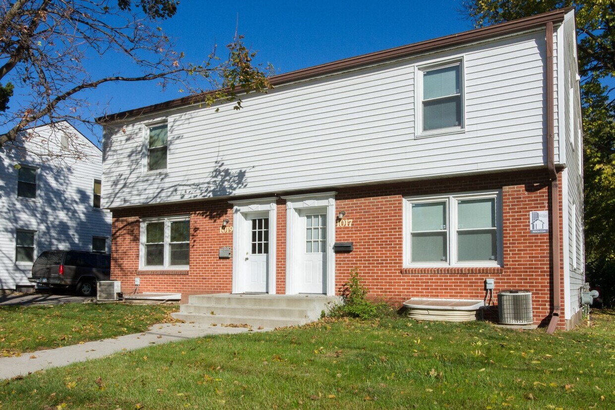
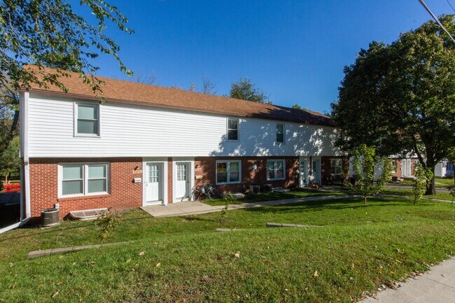
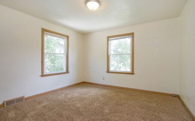
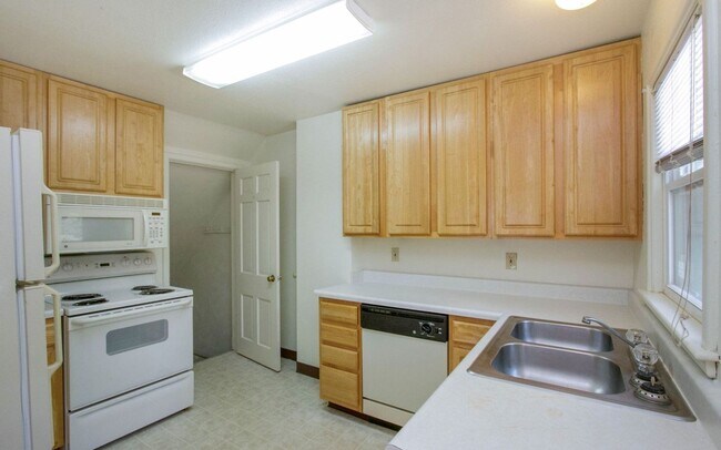
1025 6th St
Ames, IA 50010
Check Back Soon for Upcoming Availability
| Beds | Baths | Average SF |
|---|---|---|
| 3 Bedrooms 3 Bedrooms 3 Br | 2 Baths 2 Baths 2 Ba | — |
About This Property
Come see this 3 bedroom 1 bathroom located in the heart of Historic Ames! Located just blocks away from Brookside Park, this is one you can't afford to miss! This property includes off street parking and washer and dryer hook-ups as well as a finished basement! Pet Policy: Cats allowed. No dogs. Internet and Cable included. Tenant pays electric, water/sewer, and gas *WE DO NOT ACCEPT SECTION 8* ***ONE MONTH FREE RENT*** Come see this 3 bedrooms 1 bathroom located in the heart of Historic Ames! Located just blocks away from Brookside Park, this is one you can't afford to miss! This property includes off-street parking and washer and dryer hook-ups as well as a finished basement! Tenant pays electric, water/sewer, gas, and internet. *WE DO NOT ACCEPT SECTION 8*
1025 6th St is a condo located in Story County and the 50010 ZIP Code. This area is served by the Ames Community School District attendance zone.
Located in central Iowa, Ames combines the energy of a college town with welcoming community spirit. As home to Iowa State University, this city of over 66,000 residents offers educational opportunities alongside comfortable living. The rental market reflects steady growth, with average rents ranging from $756 for studios to $1,792 for four-bedroom units. Campustown pulses with activity near the university, while the Downtown district features local shops and the Octagon Center for the Arts.
Outdoor recreation abounds at Brookside Park and Ada Hayden Heritage Park, where residents enjoy trails and natural wetlands. The city hosts significant research facilities, including the USDA National Animal Disease Center and the Ames Laboratory. The CyRide transit system connects major areas throughout the city, making commuting convenient for residents.
Learn more about living in AmesBelow are rent ranges for similar nearby apartments
| Colleges & Universities | Distance | ||
|---|---|---|---|
| Colleges & Universities | Distance | ||
| Drive: | 3 min | 1.4 mi | |
| Drive: | 23 min | 16.0 mi | |
| Drive: | 36 min | 27.6 mi | |
| Drive: | 39 min | 32.3 mi |
The GreatSchools Rating helps parents compare schools within a state based on a variety of school quality indicators and provides a helpful picture of how effectively each school serves all of its students. Ratings are on a scale of 1 (below average) to 10 (above average) and can include test scores, college readiness, academic progress, advanced courses, equity, discipline and attendance data. We also advise parents to visit schools, consider other information on school performance and programs, and consider family needs as part of the school selection process.
View GreatSchools Rating Methodology
Data provided by GreatSchools.org © 2026. All rights reserved.
Similar Rentals Nearby
-
4 Beds$1,500Total Monthly Price12 Month LeaseTotal Monthly Price NewPrices include all required monthly fees.
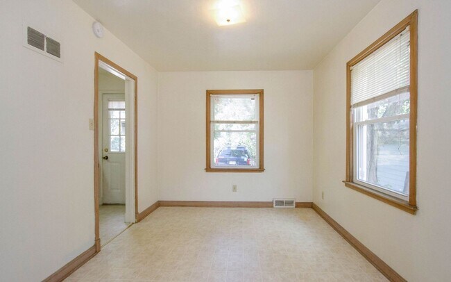
2006 Grand Ave Unit 2 - 2nd floor
-
3 Beds$950Total Monthly Price12 Month LeaseTotal Monthly Price NewPrices include all required monthly fees.2603 Knapp St Unit 2603 Knapp 1
-
3 Beds$1,800Total Monthly Price12 Month LeaseTotal Monthly Price NewPrices include all required monthly fees.3422 West St Unit 3422
-
3 Beds$1,350Total Monthly Price12 Month LeaseTotal Monthly Price NewPrices include all required monthly fees.216 S Franklin Ave
-
4 Beds$1,650Total Monthly Price12 Month LeaseTotal Monthly Price NewPrices include all required monthly fees.1412 North Dakota Ave Unit 1412
-
-
Apartment for Rent3 Beds | 2.5 Baths | 1,757 sq ft
-
Apartment for Rent3 Beds | 1 Bath | 816 sq ft
-
-
Apartment for Rent3 Beds | 1 Bath | 1,200 sq ft
What Are Walk Score®, Transit Score®, and Bike Score® Ratings?
Walk Score® measures the walkability of any address. Transit Score® measures access to public transit. Bike Score® measures the bikeability of any address.
What is a Sound Score Rating?
A Sound Score Rating aggregates noise caused by vehicle traffic, airplane traffic and local sources.