$4,250
/ Month
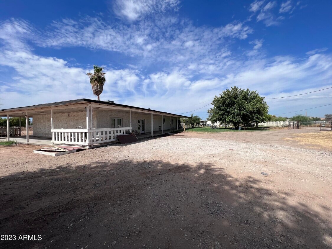
10223 W Sheridan St
Avondale, AZ 85392
Favorites
10223 W Sheridan St

Favorites
Check Back Soon for Upcoming Availability
| Beds | Baths | Average SF |
|---|---|---|
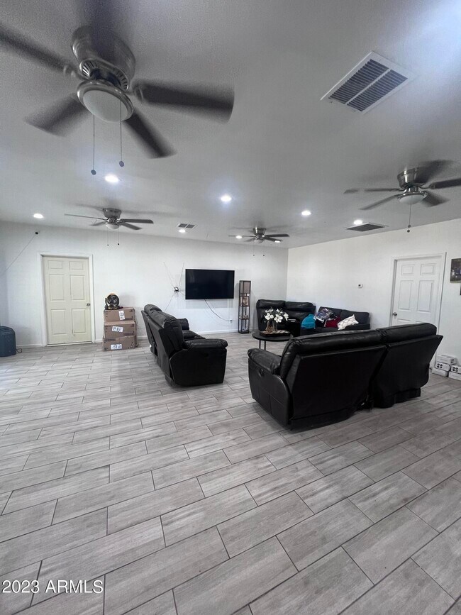
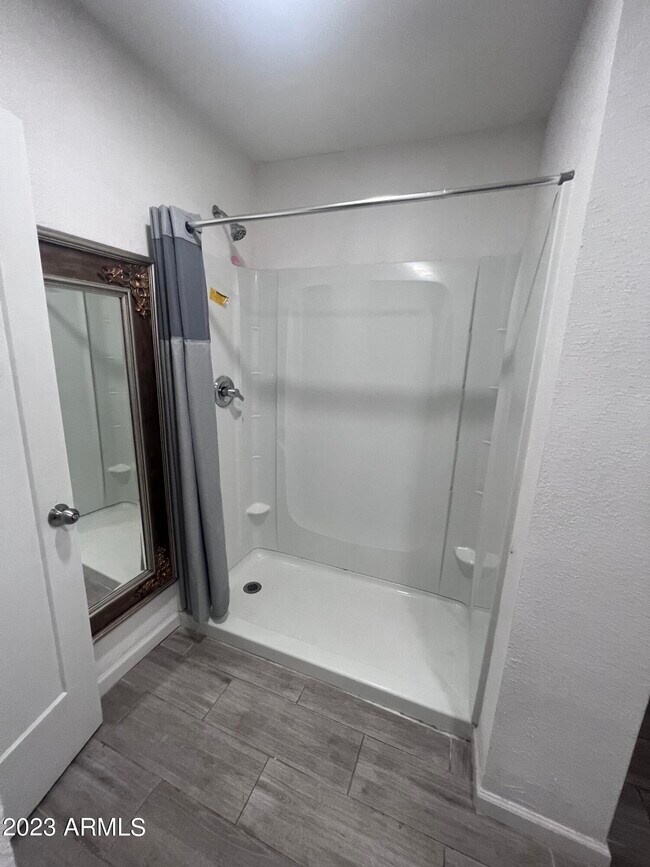
| 5 Bedrooms 5 Bedrooms 5 Br | 3 Baths 3 Baths 3 Ba | — |
10223 W Sheridan St,
Avondale,
AZ
85392
Situated along the west side of Phoenix between I-10 and the Salt River, Estrella Villa provides easy access to downtown while still retaining a rural, slightly removed atmosphere. Downtown Phoenix is only about eight miles from Estrella Villa, ideal for commuters. If this Phoenix neighborhood's wide-open spaces and spectacular mountain views are calling you, find your apartment in Estrella Villa and start enjoying this dynamic community.
Learn more about living in Crystal GardensBelow are rent ranges for similar nearby apartments
Education
| Colleges & Universities | Distance | ||
|---|---|---|---|
| Colleges & Universities | Distance | ||
| Drive: | 13 min | 6.4 mi | |
| Drive: | 24 min | 13.4 mi | |
| Drive: | 25 min | 13.9 mi | |
| Drive: | 24 min | 14.9 mi |
10223 W Sheridan St is within 13 minutes or 6.4 miles from Estrella Mountain Comm. Coll.. It is also near Grand Canyon University and Glendale Community College.
Schools


Public Elementary & Middle School
Grades PK-8
627 Students
Nearby
Public Elementary & Middle School
Grades PK-8
659 Students
Attendance Zone
Public High School
Grades 9-12
1,677 Students
Attendance Zone
Private Elementary, Middle & High School
Grades PK-12
Nearby
Private Elementary, Middle & High School
Grades PK-12
36 Students
Nearby
Private Elementary & Middle School
Grades PK-8
451 Students
Nearby
Private Elementary School
Grades PK-5
Nearby
School data provided by
 The GreatSchools Rating helps parents compare schools within a state based on a variety of school quality indicators and provides a helpful picture of how effectively each school serves all of its students. Ratings are on a scale of 1 (below average) to 10 (above average) and can include test scores, college readiness, academic progress, advanced courses, equity, discipline and attendance data. We also advise parents to visit schools, consider other information on school performance and programs, and consider family needs as part of the school selection process.
View GreatSchools Rating Methodology
Data provided by GreatSchools.org © 2026. All rights reserved.
View GreatSchools Rating Methodology
Data provided by GreatSchools.org © 2026. All rights reserved.
Walkability Near 10223 W Sheridan St Avondale, AZ 85392
Getting Around
 What do Walkability, Transit, Drivability, and Bikeability mean?
Walkability measures the walking distance to day-to-day needs.
Transit measures access to public transportation.
Drivability measures congestion, parking availability, and access to major roads.
Bikeability measures the suitability for cycling.
How It Works
What do Walkability, Transit, Drivability, and Bikeability mean?
Walkability measures the walking distance to day-to-day needs.
Transit measures access to public transportation.
Drivability measures congestion, parking availability, and access to major roads.
Bikeability measures the suitability for cycling.
How It Works
Somewhat Walkable
Walkability
30
/ 100
Minimal Public Transit
Transit
0
/ 100
Very Drivable
Drivability
80
/ 100
Fairly Bikeable
Bikeability
40
/ 100
Scores provided by
-
Soundscore™
-
/ 100
Traffic
-Airport
-Businesses
-Scores provided by
HowLoud What is a Sound Score Rating? A Sound Score Rating aggregates noise caused by vehicle traffic, airplane traffic and local sources. How It WorksYou May Also Like
Similar Rentals Nearby
-
-
4 Beds$2,883+Total Monthly PriceTotal Monthly Price NewPrices include base rent and required monthly fees of $170. Variable costs based on usage may apply.Base Rent:4 Beds$2,712+2 Months Free
-

-

-

-

-

-

-

-


What Are Walk Score®, Transit Score®, and Bike Score® Ratings?
Walk Score® measures the walkability of any address. Transit Score® measures access to public transit. Bike Score® measures the bikeability of any address.
What is a Sound Score Rating?
A Sound Score Rating aggregates noise caused by vehicle traffic, airplane traffic and local sources.

10223 W Sheridan St
Avondale, AZ 85392