
1018 Neel St
Homestead, PA 15120
-
Bedrooms
2
-
Bathrooms
1
-
Square Feet
1,312 sq ft
-
Available
Available Now
Highlights
- Pets Allowed
- Security System

1018 Neel St is a house located in Allegheny County and the 15120 ZIP Code.
House Features
Washer/Dryer
Tub/Shower
Security System
Heating
- Washer/Dryer
- Heating
- Cable Ready
- Security System
- Storage Space
- Tub/Shower
Fees and Policies
The fees below are based on community-supplied data and may exclude additional fees and utilities.
- Dogs Allowed
-
Fees not specified
- Cats Allowed
-
Fees not specified
- Parking
-
Street--
Details
Utilities Included
-
Water
-
Trash Removal
-
Sewer
Contact
- Phone Number
- Contact
Homestead is a small community located about seven miles down the Monongahela River from downtown Pittsburgh. It’s primarily a residential community, but you can find numerous locally-owned shops, bars, and restaurants along East 8th Avenue, which serves as the downtown business district. The Waterfront shopping district is the centerpiece of the community and the borough’s biggest draw for folks in the surrounding area.
Right across the river, the enormous Frick Park (not to be confused with the smaller Frick Park on the south side of Homestead) offers a huge network of forest trails to explore. The close proximity to Pittsburgh proper makes it easy to commute into the city for work or just make a quick hop over to enjoy the shopping, dining, and cultural attractions.
Learn more about living in Homestead| Colleges & Universities | Distance | ||
|---|---|---|---|
| Colleges & Universities | Distance | ||
| Drive: | 13 min | 3.9 mi | |
| Drive: | 12 min | 4.7 mi | |
| Drive: | 12 min | 4.9 mi | |
| Drive: | 13 min | 5.0 mi |
Transportation options available in Homestead include First Avenue, located 6.2 miles from 1018 Neel St. 1018 Neel St is near Pittsburgh International, located 23.4 miles or 39 minutes away, and Arnold Palmer Regional, located 34.1 miles or 65 minutes away.
| Transit / Subway | Distance | ||
|---|---|---|---|
| Transit / Subway | Distance | ||
|
|
Drive: | 14 min | 6.2 mi |
|
|
Drive: | 15 min | 6.5 mi |
|
|
Drive: | 13 min | 7.2 mi |
|
|
Drive: | 15 min | 7.6 mi |
|
|
Drive: | 18 min | 7.8 mi |
| Commuter Rail | Distance | ||
|---|---|---|---|
| Commuter Rail | Distance | ||
|
|
Drive: | 16 min | 6.9 mi |
|
|
Drive: | 48 min | 25.0 mi |
|
|
Drive: | 64 min | 39.0 mi |
|
|
Drive: | 65 min | 41.6 mi |
| Airports | Distance | ||
|---|---|---|---|
| Airports | Distance | ||
|
Pittsburgh International
|
Drive: | 39 min | 23.4 mi |
|
Arnold Palmer Regional
|
Drive: | 65 min | 34.1 mi |
Time and distance from 1018 Neel St.
| Shopping Centers | Distance | ||
|---|---|---|---|
| Shopping Centers | Distance | ||
| Walk: | 17 min | 0.9 mi | |
| Drive: | 5 min | 1.1 mi | |
| Drive: | 4 min | 1.2 mi |
| Parks and Recreation | Distance | ||
|---|---|---|---|
| Parks and Recreation | Distance | ||
|
Rivers Of Steel National Heritage Area
|
Walk: | 15 min | 0.8 mi |
|
Frick Park
|
Drive: | 11 min | 3.4 mi |
|
Frick Environmental Center
|
Drive: | 10 min | 3.4 mi |
|
Phipps Conservatory and Gardens
|
Drive: | 11 min | 4.2 mi |
|
Schenley Park
|
Drive: | 11 min | 4.3 mi |
| Hospitals | Distance | ||
|---|---|---|---|
| Hospitals | Distance | ||
| Drive: | 12 min | 4.6 mi | |
| Drive: | 15 min | 5.0 mi | |
| Drive: | 12 min | 5.1 mi |
| Military Bases | Distance | ||
|---|---|---|---|
| Military Bases | Distance | ||
| Drive: | 35 min | 21.9 mi |
- Washer/Dryer
- Heating
- Cable Ready
- Security System
- Storage Space
- Tub/Shower
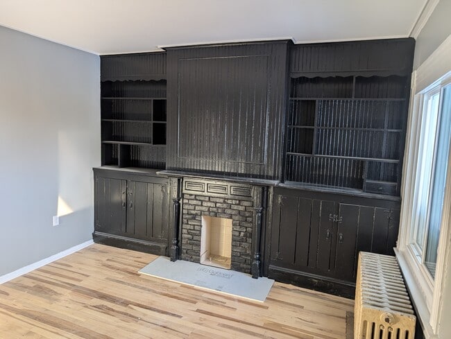
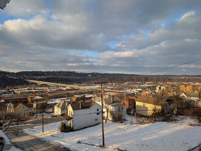
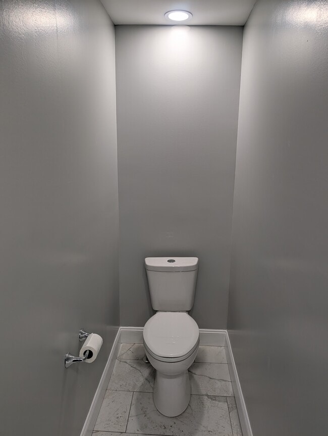
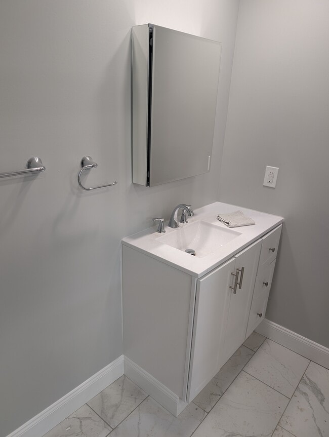
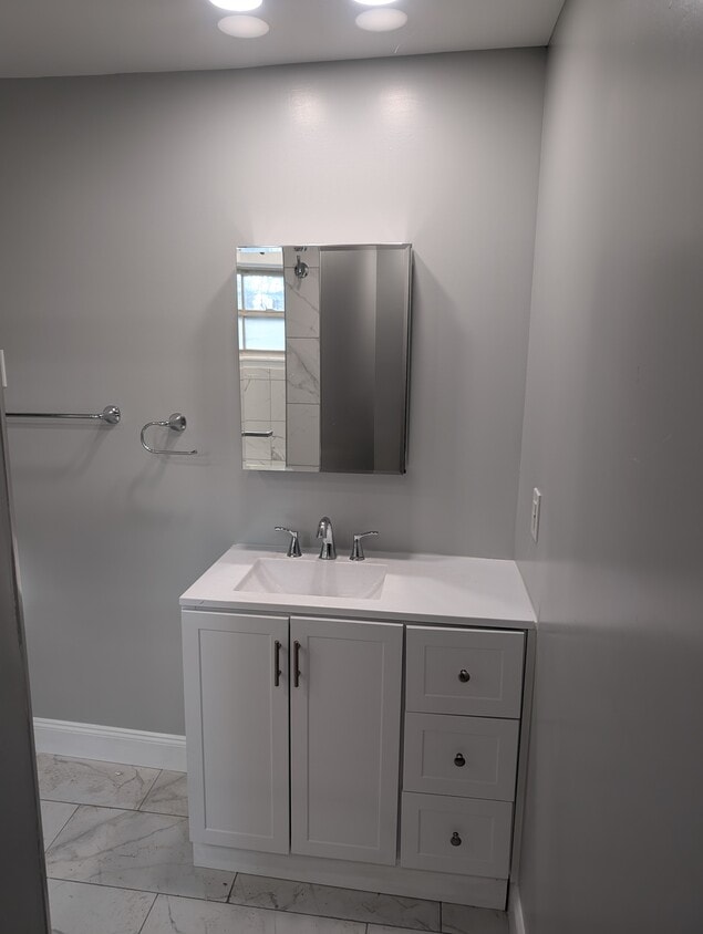
1018 Neel St Photos
What Are Walk Score®, Transit Score®, and Bike Score® Ratings?
Walk Score® measures the walkability of any address. Transit Score® measures access to public transit. Bike Score® measures the bikeability of any address.
What is a Sound Score Rating?
A Sound Score Rating aggregates noise caused by vehicle traffic, airplane traffic and local sources
1018 Neel St
Homestead, PA 15120