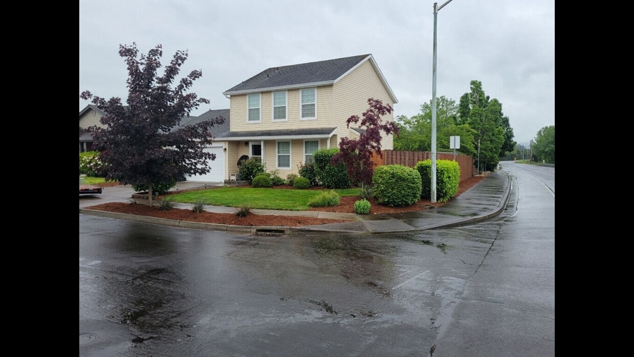
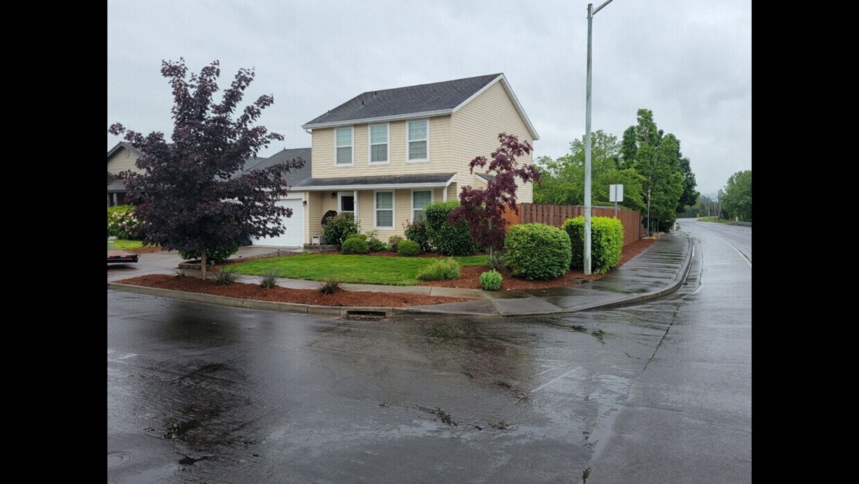
1015 S Palmetto Way
Cornelius, OR 97113

Check Back Soon for Upcoming Availability
| Beds | Baths | Average SF |
|---|---|---|
| 3 Bedrooms 3 Bedrooms 3 Br | 2.5 Baths 2.5 Baths 2.5 Ba | 1,211 SF |
About This Property
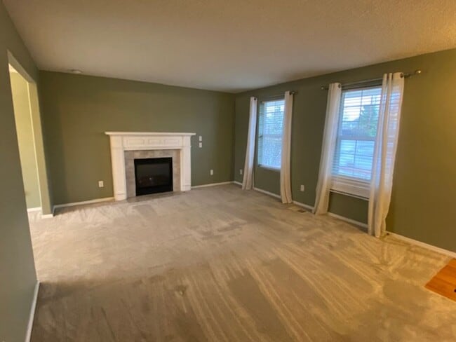
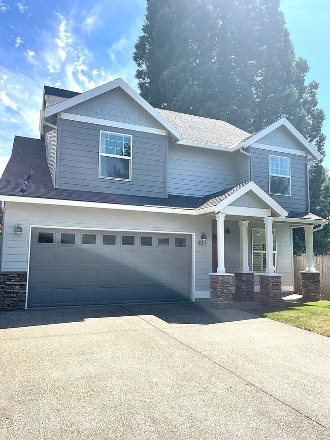
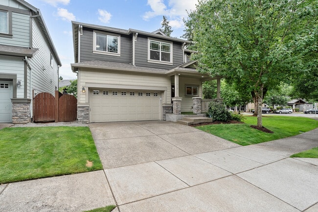
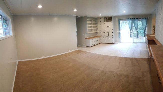
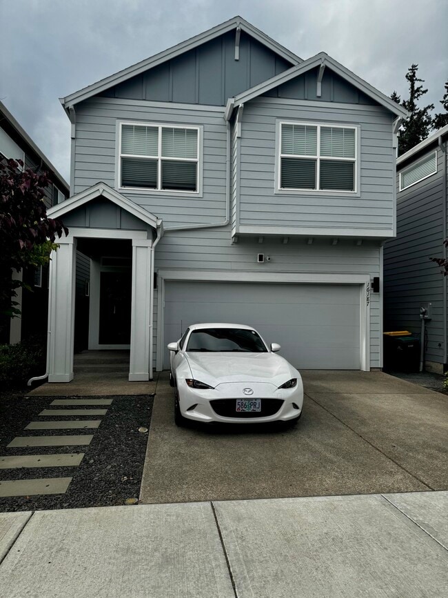
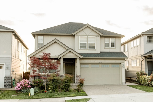
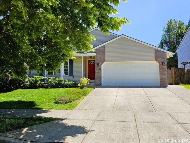
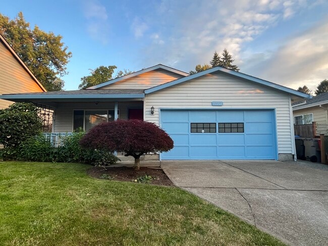
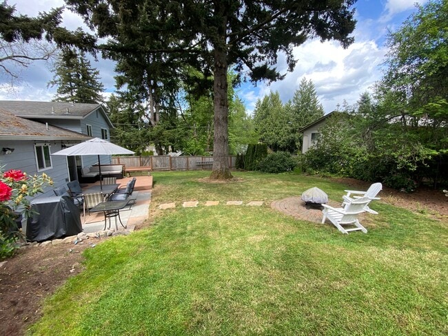
659---Immaculate home on corner lot! The kitchen is equipped with an electric range, refrigerator and dishwasher. Fenced backyard with sprinkler system, raised garden beds and storage shed. Forced air gas heat, gas fireplace. NO SMOKING, 1 dog under 50lbs considered.
1015 S Palmetto Way is a house located in Washington County and the 97113 ZIP Code. This area is served by the Forest Grove School District 15 attendance zone.
If your idea of fun includes berry picking, wine tasting, and hiking, then the suburban town of Cornelius is perfect. In the 1800s, the region was called Free Orchards because of the orchards that covered the land. Benjamin Cornelius arrived in 1845 and established a farm. When the railroad arrived in 1871, Cornelius built a warehouse and a store next to the railroad so farmers could sell produce. The town was renamed in 1893 in honor of the town's founder.
Today, Cornelius is still an agricultural hub -- it is also a popular Portland suburb, located about 23 miles west of downtown. Popular destinations near Cornelius include David Hill Vineyards & Winery, Oak Knoll Winery, Dairy Creek Park, Dion Vineyard, Plum Hill Vineyards, Ardiri Winery & Vineyards, and Fernhill Wetlands. Pacific University is minutes away in Forest Grove, and neighboring Hillsboro is home to the Hillsboro Airport.
Learn more about living in Cornelius| Colleges & Universities | Distance | ||
|---|---|---|---|
| Colleges & Universities | Distance | ||
| Drive: | 8 min | 3.6 mi | |
| Drive: | 10 min | 5.1 mi | |
| Drive: | 23 min | 10.8 mi | |
| Drive: | 27 min | 16.1 mi |
 The GreatSchools Rating helps parents compare schools within a state based on a variety of school quality indicators and provides a helpful picture of how effectively each school serves all of its students. Ratings are on a scale of 1 (below average) to 10 (above average) and can include test scores, college readiness, academic progress, advanced courses, equity, discipline and attendance data. We also advise parents to visit schools, consider other information on school performance and programs, and consider family needs as part of the school selection process.
View GreatSchools Rating Methodology
Data provided by GreatSchools.org © 2025. All rights reserved.
Transportation options available in Cornelius include Hatfield Government Center, located 4.4 miles from 1015 S Palmetto Way. 1015 S Palmetto Way is near Portland International, located 37.9 miles or 56 minutes away.
| Transit / Subway | Distance | ||
|---|---|---|---|
| Transit / Subway | Distance | ||
|
|
Drive: | 9 min | 4.4 mi |
|
|
Drive: | 9 min | 4.6 mi |
|
|
Drive: | 10 min | 4.9 mi |
|
|
Drive: | 11 min | 5.4 mi |
|
|
Drive: | 16 min | 6.9 mi |
| Commuter Rail | Distance | ||
|---|---|---|---|
| Commuter Rail | Distance | ||
|
|
Drive: | 28 min | 14.2 mi |
|
|
Drive: | 32 min | 16.6 mi |
|
|
Drive: | 36 min | 20.7 mi |
|
|
Drive: | 37 min | 23.3 mi |
|
|
Drive: | 38 min | 25.5 mi |
| Airports | Distance | ||
|---|---|---|---|
| Airports | Distance | ||
|
Portland International
|
Drive: | 56 min | 37.9 mi |
Time and distance from 1015 S Palmetto Way.
| Shopping Centers | Distance | ||
|---|---|---|---|
| Shopping Centers | Distance | ||
| Drive: | 2 min | 1.1 mi | |
| Drive: | 3 min | 1.3 mi | |
| Drive: | 3 min | 1.4 mi |
| Parks and Recreation | Distance | ||
|---|---|---|---|
| Parks and Recreation | Distance | ||
|
Fernhill Wetland
|
Drive: | 6 min | 3.0 mi |
|
Jackson Bottom Wetlands Preserve
|
Drive: | 9 min | 6.2 mi |
|
Rood Bridge Park & Rhododendron Garden
|
Drive: | 14 min | 8.3 mi |
|
Tree to Tree Adventure Park
|
Drive: | 20 min | 12.8 mi |
|
Rice Northwest Museum of Rocks and Minerals
|
Drive: | 22 min | 12.9 mi |
| Hospitals | Distance | ||
|---|---|---|---|
| Hospitals | Distance | ||
| Drive: | 10 min | 5.1 mi | |
| Drive: | 21 min | 10.9 mi |
| Military Bases | Distance | ||
|---|---|---|---|
| Military Bases | Distance | ||
| Drive: | 52 min | 33.6 mi | |
| Drive: | 76 min | 49.0 mi |
You May Also Like
Similar Rentals Nearby
What Are Walk Score®, Transit Score®, and Bike Score® Ratings?
Walk Score® measures the walkability of any address. Transit Score® measures access to public transit. Bike Score® measures the bikeability of any address.
What is a Sound Score Rating?
A Sound Score Rating aggregates noise caused by vehicle traffic, airplane traffic and local sources
