
$3,350 / Month
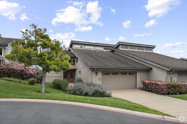
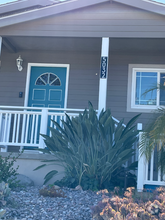
10112 Cedar Springs Dr
Santee, CA 92071
2 Weeks Ago
Favorites
10112 Cedar Springs Dr

Favorites
Check Back Soon for Upcoming Availability
| Beds | Baths | Average SF |
|---|---|---|
| 3 Bedrooms 3 Bedrooms 3 Br | 2 Baths 2 Baths 2 Ba | 1,259 SF |
About This Property
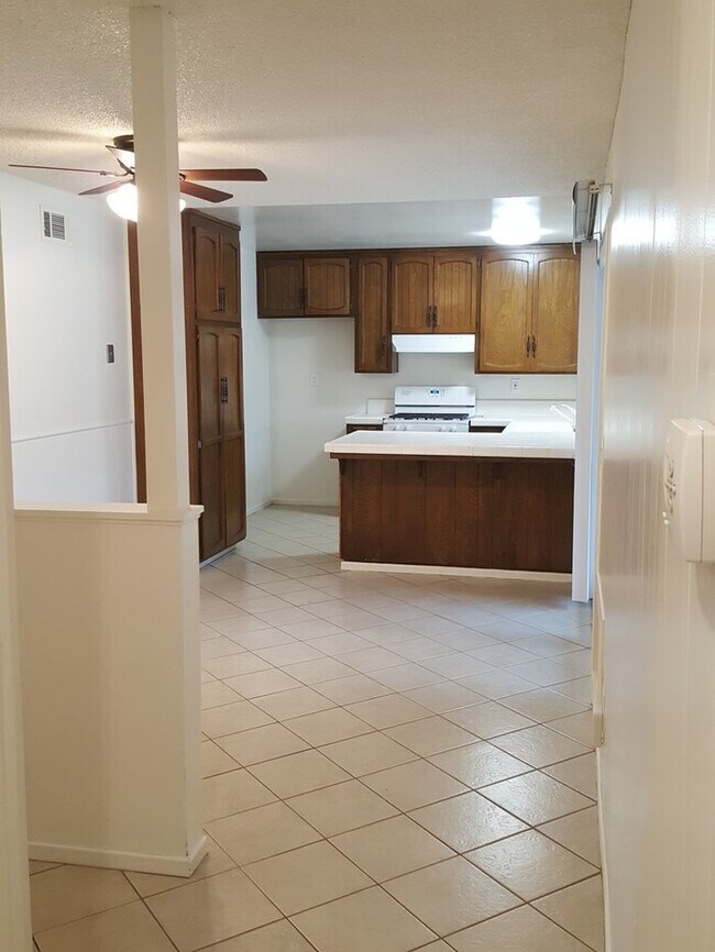
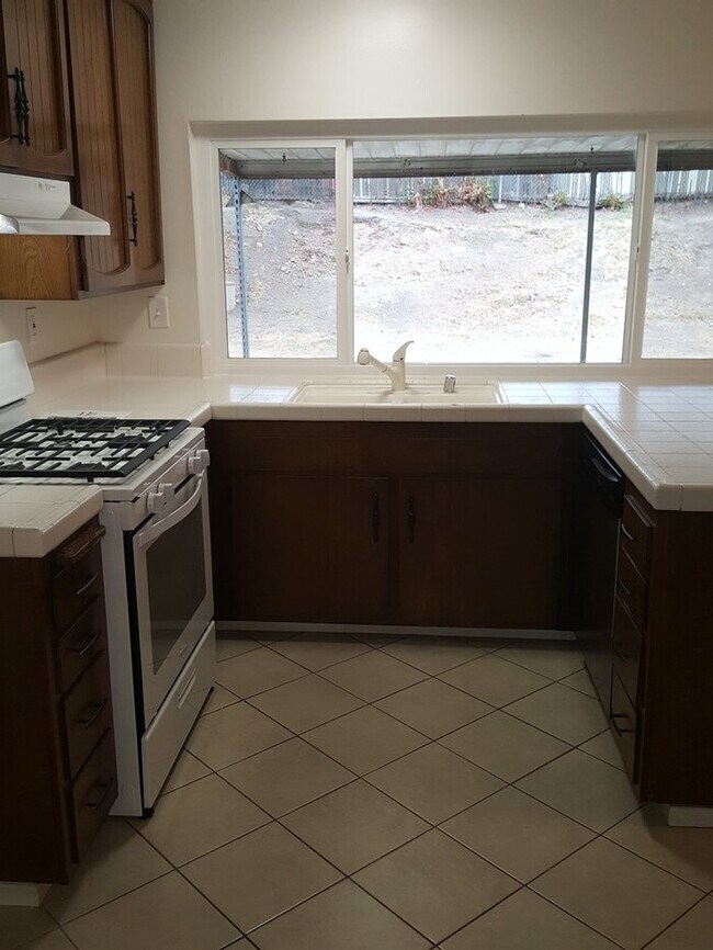
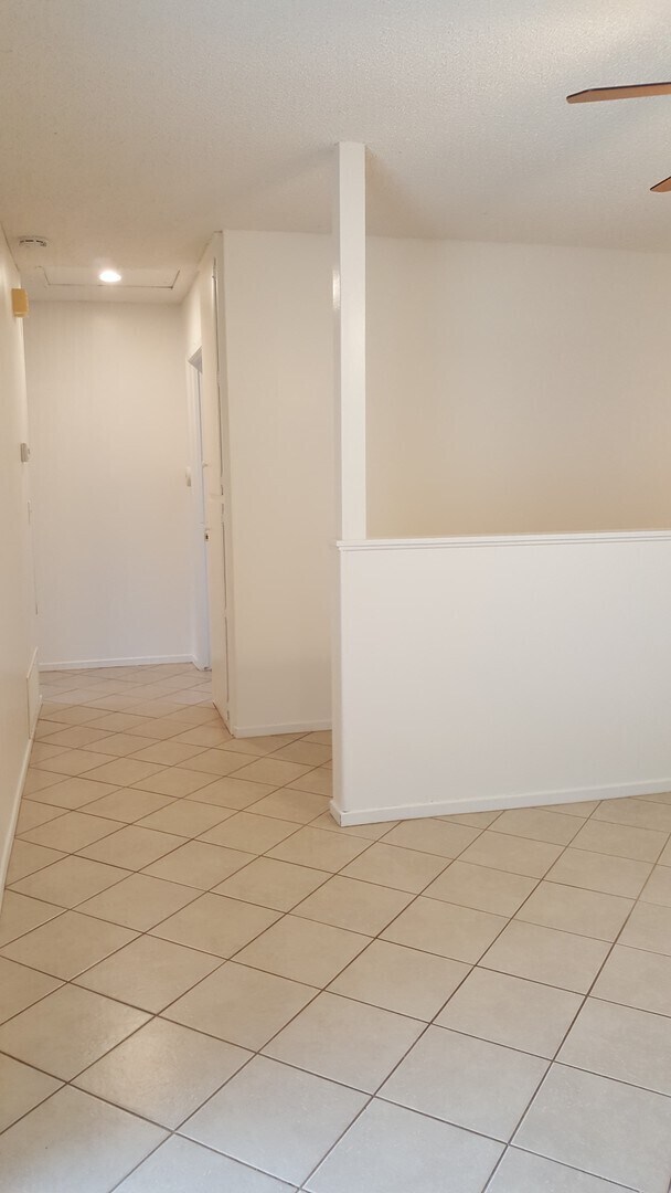
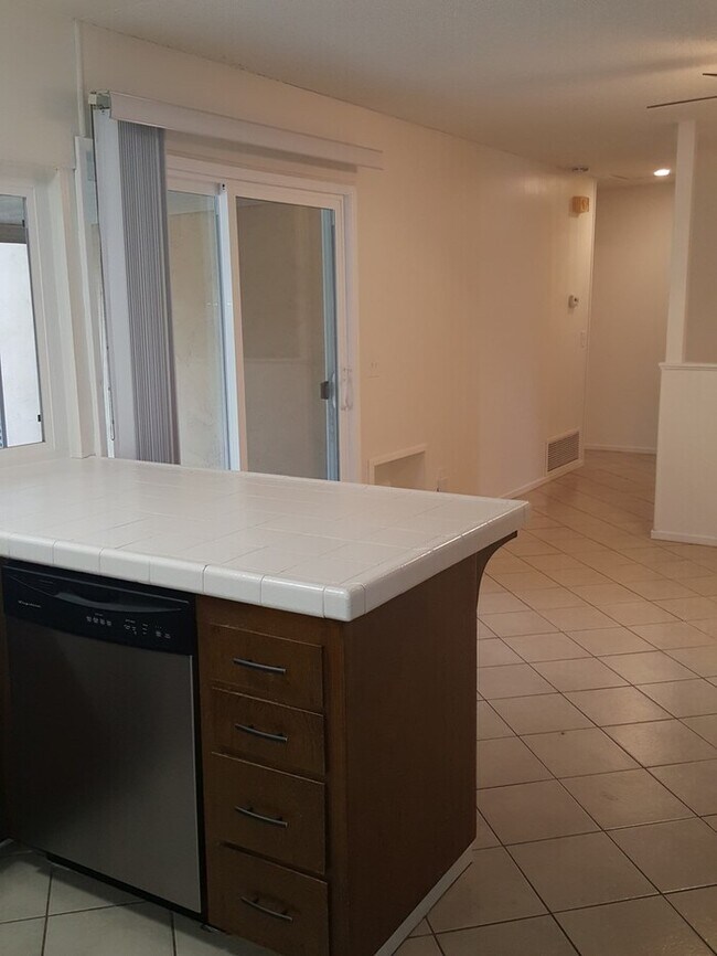
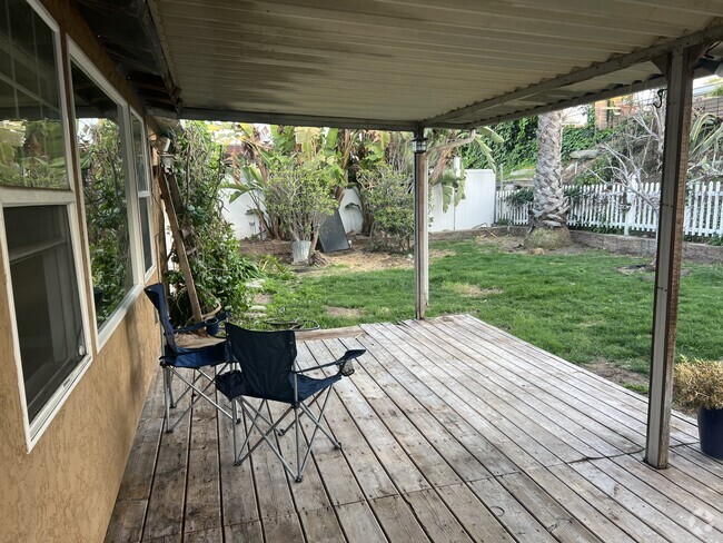
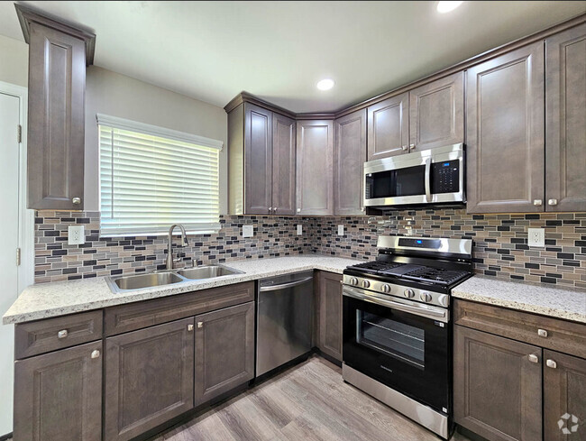
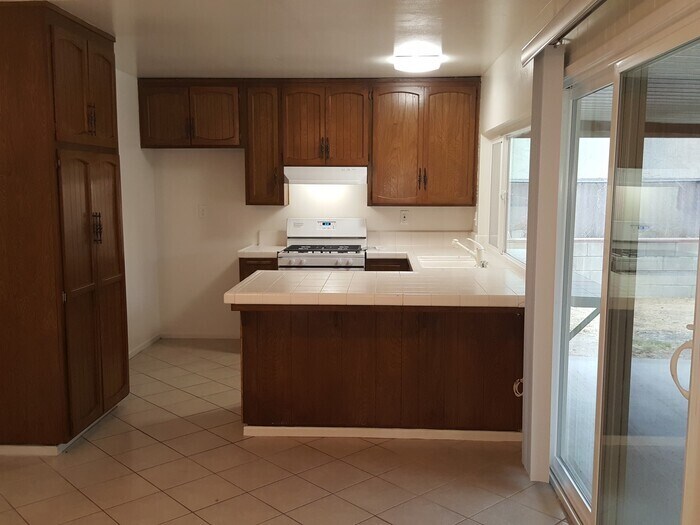
Non-Smoking/No Vaping/No e-cigarette Property! This 3bdr/2 bath home is located in a residential neighborhood, just a short distance from Woodglen Vista Park, Santana High School, Cajon Park School, the Cameron YMCA, Town Center Community Park, and Santee Trolley Square. It comes with a large privately enclosed backyard with separate dog run and a large covered patio out the sliding door. The home features tile floors in entry, living & dining room with carpet in the bedrooms, central HVAC, dual pane vinyl windows and separate dining space in the kitchen. The kitchen is equipped with gas stove and dishwasher and has a large sliding door with a view to the backyard. A fridge can be provided, if needed. The attached 2car garage has both remote control and keypad entry plus additional parking space in driveway. Please drive by and give our office a call to complete a pre-screening, or . Rental Criteria: -must have gross income of at least 2.5 times the rent or more -Minimum Credit Score of 600 per adult applicant is required ****NOTE: Credit Scores in the 600-650 Range will require a larger deposit -5 years good rental history -No Evictions or debt owed to prior landlord, as permitted by law -Pets allowed with some restrictions, deposit of $250-$500 per pet; 2 pet maximum. Resident pays all utilities and must maintain the yard. Flying Dog Enterprises, Inc. DRE #01004279 Contact us to schedule a showing.
10112 Cedar Springs Dr is a house located in San Diego County and the 92071 ZIP Code. This area is served by the Lakeside Union Elementary attendance zone.
Location
Get Directions
Located about 19 miles northeast of San Diego, Santee is a charming East County suburb revered for its vast expanses of land as well as its many retail offerings. Santee contains an array of community parks, each providing ample opportunity for recreational activities like hiking, golfing, disc golfing, picnicking, soccer, softball, and more.
Bordering the expansive Mission Trails Regional Park, Santee residents enjoy access to more than 60 miles of trails, the San Diego River, and sweeping vistas. Santee’s ideal location between the Pacific Ocean and the rugged mountains of Cleveland National Forest lends even more potential for outdoor recreation nearby.
Santee’s downtown district is comprised of the 700-acre Town Center, which includes the Santee Trolley Square Mall along with a host of restaurants and shops connected by the Metropolitan Transit System trolley.
Learn more about living in Santee
Education
| Colleges & Universities | Distance | ||
|---|---|---|---|
| Colleges & Universities | Distance | ||
| Drive: | 12 min | 5.8 mi | |
| Drive: | 21 min | 11.7 mi | |
| Drive: | 24 min | 13.7 mi | |
| Drive: | 24 min | 14.6 mi |
10112 Cedar Springs Dr is within 12 minutes or 5.8 miles from Grossmont College. It is also near Cuyamaca College and San Diego State University.
Schools


Charter Elementary & Middle School
Grades K-8
81 Students
Nearby
Public Elementary & Middle School
Grades K-8
886 Students
Attendance Zone
Public High School
Grades 9-12
1,736 Students
Attendance Zone
Private Elementary & Middle School
Grades PK-7
24 Students
Nearby
Private Elementary, Middle & High School
Grades K-12
Nearby
School data provided by
 The GreatSchools Rating helps parents compare schools within a state based on a variety of school quality indicators and provides a helpful picture of how effectively each school serves all of its students. Ratings are on a scale of 1 (below average) to 10 (above average) and can include test scores, college readiness, academic progress, advanced courses, equity, discipline and attendance data. We also advise parents to visit schools, consider other information on school performance and programs, and consider family needs as part of the school selection process.
View GreatSchools Rating Methodology
View GreatSchools Rating Methodology
Transportation options available in Santee include Santee Town Center, located 2.2 miles from 10112 Cedar Springs Dr. 10112 Cedar Springs Dr is near San Diego International, located 19.7 miles or 30 minutes away.
| Transit / Subway | Distance | ||
|---|---|---|---|
| Transit / Subway | Distance | ||
|
|
Drive: | 6 min | 2.2 mi |
|
|
Drive: | 7 min | 3.0 mi |
|
|
Drive: | 10 min | 4.9 mi |
|
|
Drive: | 11 min | 6.5 mi |
|
|
Drive: | 13 min | 7.4 mi |
| Commuter Rail | Distance | ||
|---|---|---|---|
| Commuter Rail | Distance | ||
|
|
Drive: | 27 min | 18.8 mi |
|
|
Drive: | 29 min | 19.0 mi |
|
|
Drive: | 28 min | 20.1 mi |
|
|
Drive: | 35 min | 25.9 mi |
|
|
Drive: | 39 min | 29.5 mi |
| Airports | Distance | ||
|---|---|---|---|
| Airports | Distance | ||
|
San Diego International
|
Drive: | 30 min | 19.7 mi |
Time and distance from 10112 Cedar Springs Dr.
| Shopping Centers | Distance | ||
|---|---|---|---|
| Shopping Centers | Distance | ||
| Walk: | 18 min | 1.0 mi | |
| Walk: | 20 min | 1.1 mi | |
| Drive: | 4 min | 1.3 mi |
10112 Cedar Springs Dr has 3 shopping centers within 1.3 miles, which is about a 4-minute walk. The miles and minutes will be for the farthest away property.
| Parks and Recreation | Distance | ||
|---|---|---|---|
| Parks and Recreation | Distance | ||
|
Lindo Lake County Park
|
Drive: | 10 min | 4.7 mi |
|
Louis Stelzer County Park
|
Drive: | 11 min | 6.3 mi |
|
Cactus County Park
|
Drive: | 17 min | 6.8 mi |
|
Lake Jennings County Park
|
Drive: | 14 min | 7.5 mi |
|
Mission Trails Regional Park
|
Drive: | 14 min | 7.5 mi |
10112 Cedar Springs Dr has 5 parks within 7.5 miles, including Lindo Lake County Park, Louis Stelzer County Park, and Mission Trails Regional Park.
| Hospitals | Distance | ||
|---|---|---|---|
| Hospitals | Distance | ||
| Drive: | 13 min | 8.7 mi | |
| Drive: | 16 min | 10.9 mi | |
| Drive: | 19 min | 11.8 mi |
10112 Cedar Springs Dr has 3 hospitals within 11.8 miles, the nearest is Grossmont Hospital which is 8.7 miles away and a 13 minute drive.
| Military Bases | Distance | ||
|---|---|---|---|
| Military Bases | Distance | ||
| Drive: | 28 min | 16.7 mi |
10112 Cedar Springs Dr is 16.7 miles and a 28 minute drive from USMC Air Station Miramar.
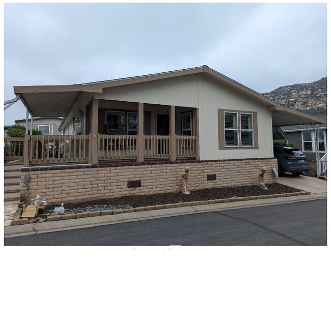
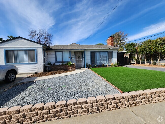
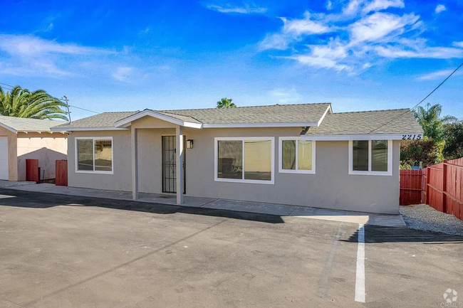
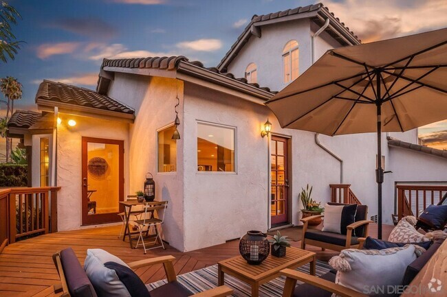
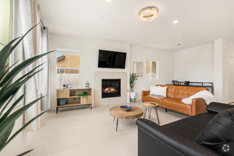
You May Also Like
Similar Rentals Nearby
What Are Walk Score®, Transit Score®, and Bike Score® Ratings?
Walk Score® measures the walkability of any address. Transit Score® measures access to public transit. Bike Score® measures the bikeability of any address.
What is a Sound Score Rating?
A Sound Score Rating aggregates noise caused by vehicle traffic, airplane traffic and local sources
10112 Cedar Springs Dr
Santee, CA 92071