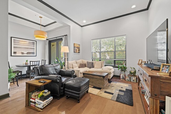
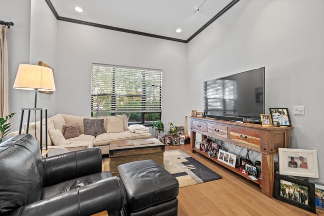
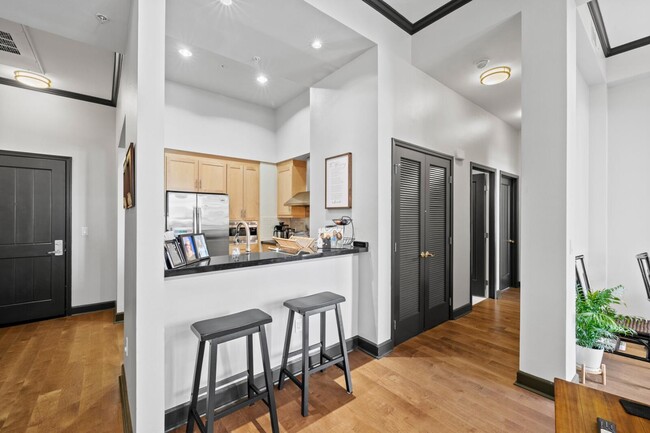
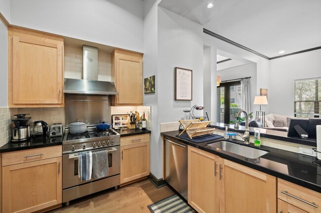


3 Beds, 2 Baths, 1,500 sq ft
$3,980
Total Monthly Price
12 Month Lease
Total Monthly Price
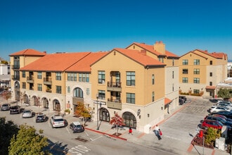
New
Prices include all required monthly fees.
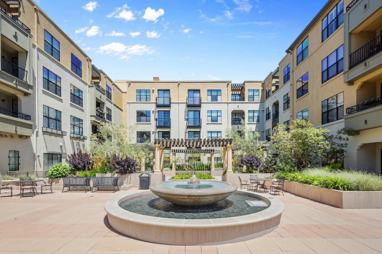
151 Buckingham Dr Unit 297