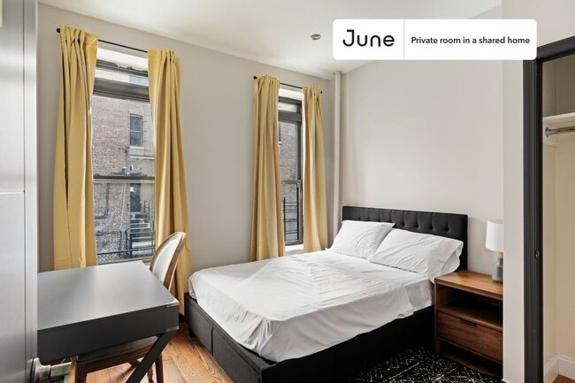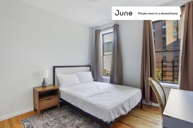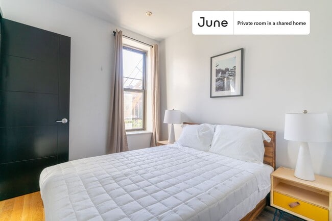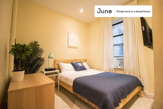


2 Beds, 2 Baths, 1,000 sq ft
100 Cedar St Unit B12
Dobbs Ferry, NY 10522
Check Back Soon for Upcoming Availability
| Beds | Baths | Average SF |
|---|---|---|
| 2 Bedrooms 2 Bedrooms 2 Br | 2 Baths 2 Baths 2 Ba | 1,200 SF |
About This Property
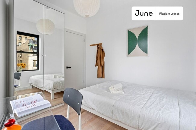
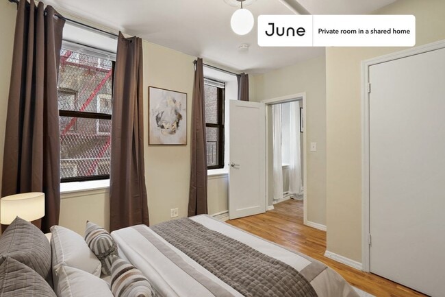
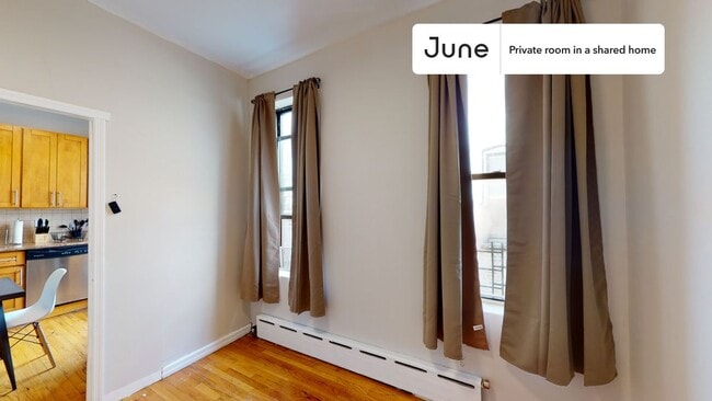
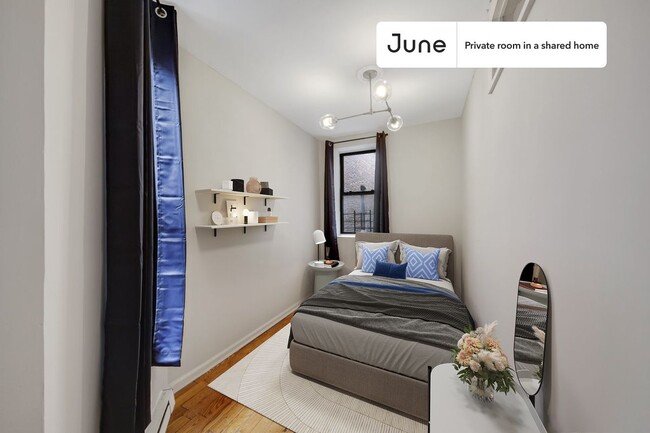
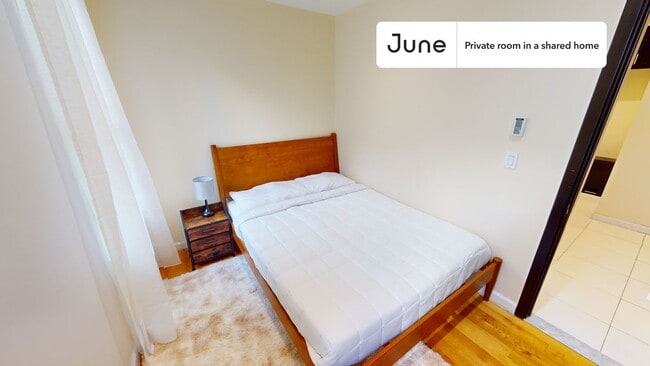
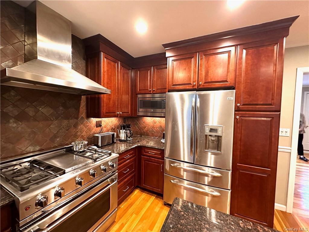
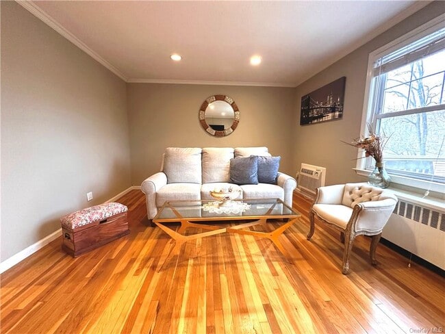
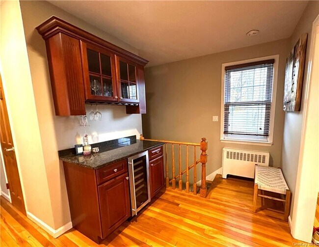
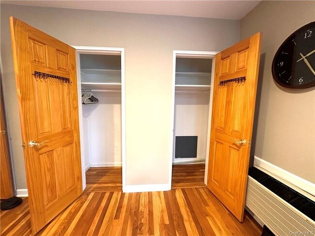
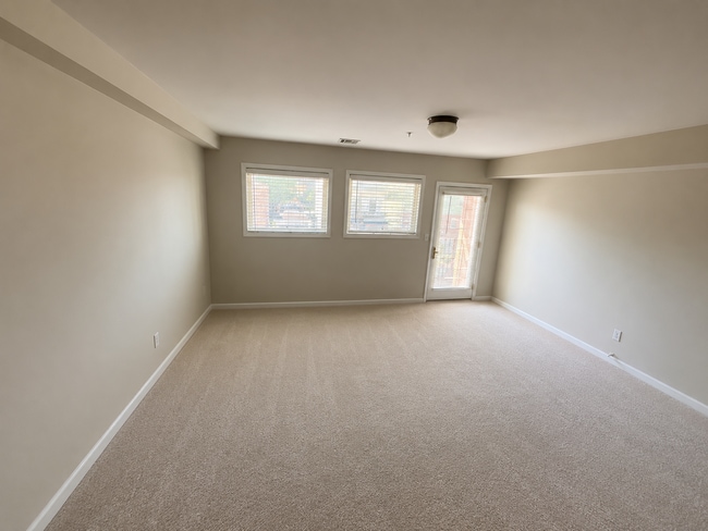
Discover the perfect blend of convenience and comfort in this inviting 2-bedroom,1 1/2-bathroom apartment. Located in close proximity to the train station and Dobbs Ferry downtown,this residence offers a lifestyle of ease. Enjoy the community's in-ground pool and playground,complemented by the convenience of laundry facilities within the building. With hardwood floors throughout,this apartment exudes warmth and charm. The inclusion of heat and hot water in the rent adds to the overall comfort. Embrace the scenic surroundings with a balcony and patio,providing a tranquil space to unwind. The apartment is situated in a delightful environment along the river,featuring abundant green spaces. Benefit from the practicality of 1 assigned parking space and guest parking. With proximity to schools and colleges,this residence promises both a serene living experience and easy access to educational institutions. Based on information submitted to the MLS GRID as of [see last changed date above]. All data is obtained from various sources and may not have been verified by broker or MLS GRID. Supplied Open House Information is subject to change without notice. All information should be independently reviewed and verified for accuracy. Properties may or may not be listed by the office/agent presenting the information. Some IDX listings have been excluded from this website. Prices displayed on all Sold listings are the Last Known Listing Price and may not be the actual selling price.
100 Cedar St is a condo located in Westchester County and the 10522 ZIP Code. This area is served by the Dobbs Ferry Union Free School District attendance zone.
Dobbs Ferry sits on the eastern bank of the Hudson River in Westchester County, about 25 miles north of Midtown Manhattan, and it carries the relaxed confidence of a village that knows it has something special going for it. Spanning just three square miles, this close-knit community packs in a surprising range of character, from tree-lined residential streets and hillside homes with river views to a compact, walkable downtown where locally rooted businesses have held their ground for years. The Metro-North Hudson Line connects Dobbs Ferry directly to Grand Central Terminal, making the balance between small-town atmosphere and big-city access genuinely easy to maintain.
Mercy University anchors a notable educational presence in the village, giving the area an intellectual energy that extends beyond the campus. The village was also the first in New York State to earn certification as a Climate Smart Community, a distinction that speaks to the strong sense of civic pride here.
Learn more about living in Dobbs Ferry| Colleges & Universities | Distance | ||
|---|---|---|---|
| Colleges & Universities | Distance | ||
| Drive: | 4 min | 1.3 mi | |
| Drive: | 17 min | 9.0 mi | |
| Drive: | 22 min | 11.7 mi | |
| Drive: | 20 min | 12.5 mi |
The GreatSchools Rating helps parents compare schools within a state based on a variety of school quality indicators and provides a helpful picture of how effectively each school serves all of its students. Ratings are on a scale of 1 (below average) to 10 (above average) and can include test scores, college readiness, academic progress, advanced courses, equity, discipline and attendance data. We also advise parents to visit schools, consider other information on school performance and programs, and consider family needs as part of the school selection process.
View GreatSchools Rating Methodology
Data provided by GreatSchools.org © 2026. All rights reserved.
Transportation options available in Dobbs Ferry include Wakefield-241 Street, located 10.0 miles from 100 Cedar St Unit B12. 100 Cedar St Unit B12 is near Westchester County, located 16.5 miles or 25 minutes away, and LaGuardia, located 22.2 miles or 35 minutes away.
| Transit / Subway | Distance | ||
|---|---|---|---|
| Transit / Subway | Distance | ||
|
|
Drive: | 16 min | 10.0 mi |
|
|
Drive: | 14 min | 10.1 mi |
|
|
Drive: | 17 min | 10.4 mi |
|
|
Drive: | 17 min | 11.0 mi |
|
|
Drive: | 18 min | 11.4 mi |
| Commuter Rail | Distance | ||
|---|---|---|---|
| Commuter Rail | Distance | ||
|
|
Walk: | 9 min | 0.5 mi |
|
|
Drive: | 4 min | 1.7 mi |
|
|
Drive: | 5 min | 2.0 mi |
|
|
Drive: | 6 min | 2.7 mi |
|
|
Drive: | 8 min | 4.5 mi |
| Airports | Distance | ||
|---|---|---|---|
| Airports | Distance | ||
|
Westchester County
|
Drive: | 25 min | 16.5 mi |
|
LaGuardia
|
Drive: | 35 min | 22.2 mi |
Time and distance from 100 Cedar St Unit B12.
| Shopping Centers | Distance | ||
|---|---|---|---|
| Shopping Centers | Distance | ||
| Drive: | 4 min | 1.7 mi | |
| Drive: | 4 min | 1.7 mi | |
| Drive: | 5 min | 1.9 mi |
| Parks and Recreation | Distance | ||
|---|---|---|---|
| Parks and Recreation | Distance | ||
|
Old Croton Aqueduct State Historic Park
|
Walk: | 10 min | 0.5 mi |
|
Lenoir Preserve
|
Drive: | 6 min | 3.2 mi |
|
Greenburgh Nature Center
|
Drive: | 12 min | 4.8 mi |
|
Hudson River Museum
|
Drive: | 10 min | 5.4 mi |
|
Tallman Mountain State Park
|
Drive: | 20 min | 12.2 mi |
| Hospitals | Distance | ||
|---|---|---|---|
| Hospitals | Distance | ||
| Drive: | 6 min | 3.9 mi | |
| Drive: | 15 min | 8.4 mi | |
| Drive: | 15 min | 9.1 mi |
| Military Bases | Distance | ||
|---|---|---|---|
| Military Bases | Distance | ||
| Drive: | 36 min | 21.2 mi | |
| Drive: | 39 min | 23.3 mi | |
| Drive: | 45 min | 25.9 mi |
You May Also Like
Similar Rentals Nearby
-
$2,400Total Monthly PriceTotal Monthly Price NewPrices include all required monthly fees.12 Month LeaseCondo for Rent
-
-
-
-
-
-
-
-
-
What Are Walk Score®, Transit Score®, and Bike Score® Ratings?
Walk Score® measures the walkability of any address. Transit Score® measures access to public transit. Bike Score® measures the bikeability of any address.
What is a Sound Score Rating?
A Sound Score Rating aggregates noise caused by vehicle traffic, airplane traffic and local sources.