
$3,900
/ Month
1 Chorley Walk
Pleasant Hill, CA 94523
2 Weeks Ago
Favorites
1 Chorley Walk

Favorites
Check Back Soon for Upcoming Availability
| Beds | Baths | Average SF |
|---|---|---|
| 3 Bedrooms 3 Bedrooms 3 Br | 2.5 Baths 2.5 Baths 2.5 Ba | 800 SF |
Fees and Policies
The fees below are based on community-supplied data and may exclude additional fees and utilities.
- Parking
-
Garage--
Details
Utilities Included
-
Water
-
Trash Removal
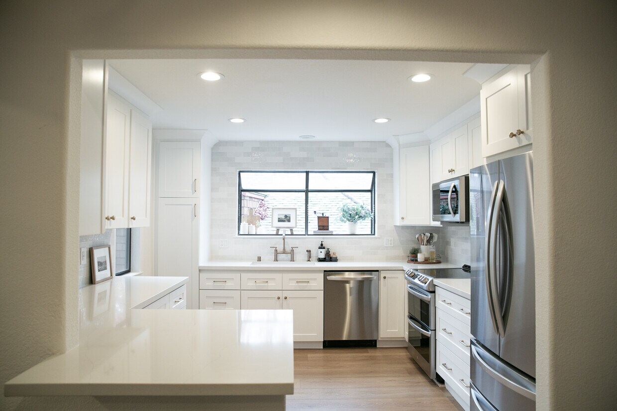
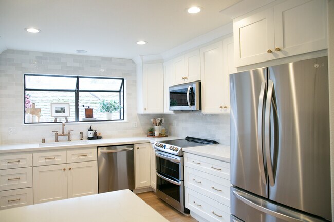
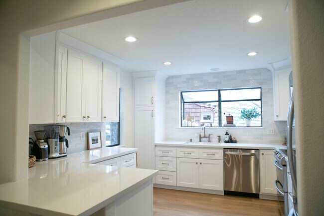
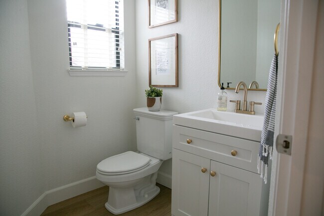
About This Property
Easy access to Paso Nogal Trails Close proximity to HWY 680, HWY 24, DVC, Sunvalley Shopping Center and The Veranda Access to Community Pool
1 Chorley Walk is a house located in Contra Costa County and the 94523 ZIP Code.
House Features
- Washer/Dryer
- Pool
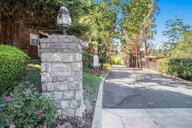
Location
Get Directions
Pleasant Hill is exactly what you’d expect: a pleasant community in the California hills. This suburb offers urban amenities and small-town charm, along with upscale rentals ranging from single-family homes to modern apartments. A charming outdoor shopping center sits in the heart of downtown, along with neighborhood parks, movie theaters, and top-notch public schools like Sequoia Middle. Pleasant Hill offers proximity to even more shopping and entertainment options like Sunvalley Shopping Center and Six Flags in Concord. Suisun Bay is only a few miles north of town, and Walnut Creek sits directly south. Residents of this upscale suburb also have easy access to Berkeley, Oakland, Richmond, and San Francisco thanks to Interstate 680 and State Route 24.
Learn more about living in Pleasant Hill
Amenities
- Washer/Dryer
- Pool
Expenses
Utilities Included
Water, Trash Removal
Included
Education
| Colleges & Universities | Distance | ||
|---|---|---|---|
| Colleges & Universities | Distance | ||
| Drive: | 6 min | 1.9 mi | |
| Drive: | 21 min | 9.4 mi | |
| Drive: | 29 min | 16.4 mi | |
| Drive: | 30 min | 16.8 mi |
1 Chorley Walk is within 6 minutes or 1.9 miles from Diablo Valley, Pleasant Hill. It is also near Saint Marys Coll. of Calif. and UC Berkeley.
Transportation options available in Pleasant Hill include Concord Station, located 4.1 miles from 1 Chorley Walk. 1 Chorley Walk is near Metro Oakland International, located 26.2 miles or 38 minutes away, and San Francisco International, located 38.2 miles or 57 minutes away.
| Transit / Subway | Distance | ||
|---|---|---|---|
| Transit / Subway | Distance | ||
|
|
Drive: | 10 min | 4.1 mi |
|
|
Drive: | 10 min | 4.2 mi |
|
|
Drive: | 11 min | 5.4 mi |
|
|
Drive: | 12 min | 5.7 mi |
|
|
Drive: | 12 min | 5.7 mi |
| Commuter Rail | Distance | ||
|---|---|---|---|
| Commuter Rail | Distance | ||
|
|
Drive: | 12 min | 6.0 mi |
|
|
Drive: | 29 min | 17.6 mi |
|
|
Drive: | 28 min | 19.3 mi |
|
|
Drive: | 32 min | 21.3 mi |
| Drive: | 31 min | 21.4 mi |
| Airports | Distance | ||
|---|---|---|---|
| Airports | Distance | ||
|
Metro Oakland International
|
Drive: | 38 min | 26.2 mi |
|
San Francisco International
|
Drive: | 57 min | 38.2 mi |
Time and distance from 1 Chorley Walk.
| Shopping Centers | Distance | ||
|---|---|---|---|
| Shopping Centers | Distance | ||
| Walk: | 5 min | 0.3 mi | |
| Walk: | 7 min | 0.4 mi | |
| Walk: | 12 min | 0.6 mi |
1 Chorley Walk has 3 shopping centers within 0.6 mile, which is about a 12-minute walk. The miles and minutes will be for the farthest away property.
| Parks and Recreation | Distance | ||
|---|---|---|---|
| Parks and Recreation | Distance | ||
|
Larkey Park
|
Drive: | 8 min | 3.2 mi |
|
Lindsay Wildlife Museum
|
Drive: | 8 min | 3.3 mi |
|
Briones Regional Park
|
Drive: | 13 min | 4.2 mi |
|
John Muir National Historic Site
|
Drive: | 10 min | 4.7 mi |
|
Gardens at Heather Farm
|
Drive: | 14 min | 5.7 mi |
1 Chorley Walk has 5 parks within 5.7 miles, including Lindsay Wildlife Museum, Larkey Park, and John Muir National Historic Site.
| Hospitals | Distance | ||
|---|---|---|---|
| Hospitals | Distance | ||
| Drive: | 10 min | 4.2 mi | |
| Drive: | 10 min | 4.4 mi | |
| Drive: | 9 min | 4.9 mi |
1 Chorley Walk has 3 hospitals within 4.9 miles, the nearest is John Muir Medical Center - Concord Campus which is 4.2 miles away and a 10 minute drive.
You May Also Like
Similar Rentals Nearby


What Are Walk Score®, Transit Score®, and Bike Score® Ratings?
Walk Score® measures the walkability of any address. Transit Score® measures access to public transit. Bike Score® measures the bikeability of any address.
What is a Sound Score Rating?
A Sound Score Rating aggregates noise caused by vehicle traffic, airplane traffic and local sources

1 Chorley Walk
Pleasant Hill, CA 94523